Appalachian Trail Trailhead - Rockwell Road
Mount Greylock State Reservation
Williamstown, MA
Snowshoeing | Hiking
Massachusetts Department of Conservation and Recreation
Mount Greylock State Reservation
Allowed Uses & Features
Information
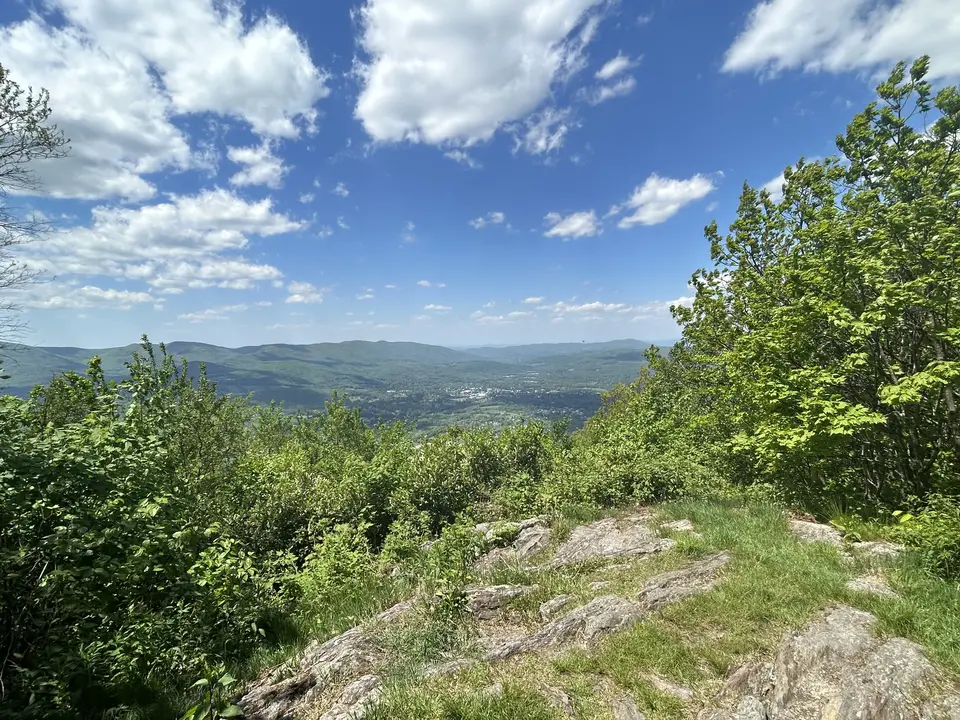
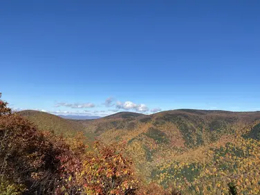
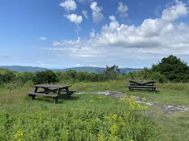
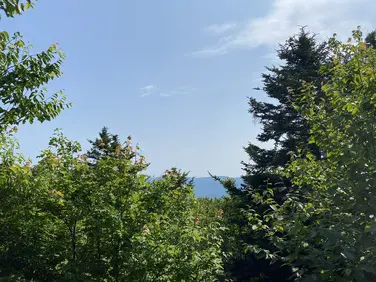
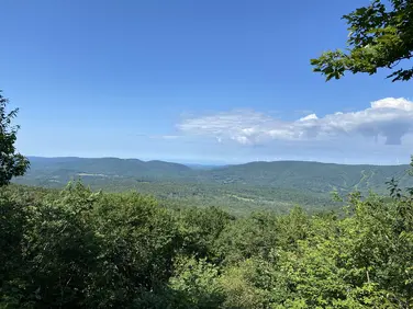
A view of the Berkshires from a summit.
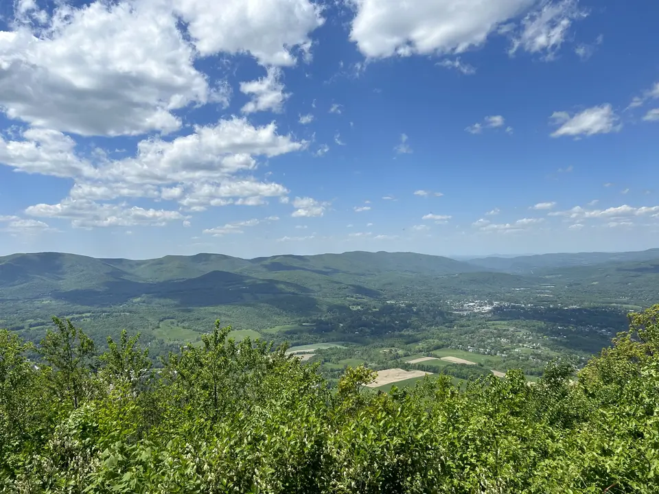
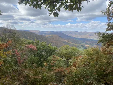
A view of the Berkshires from the summit.
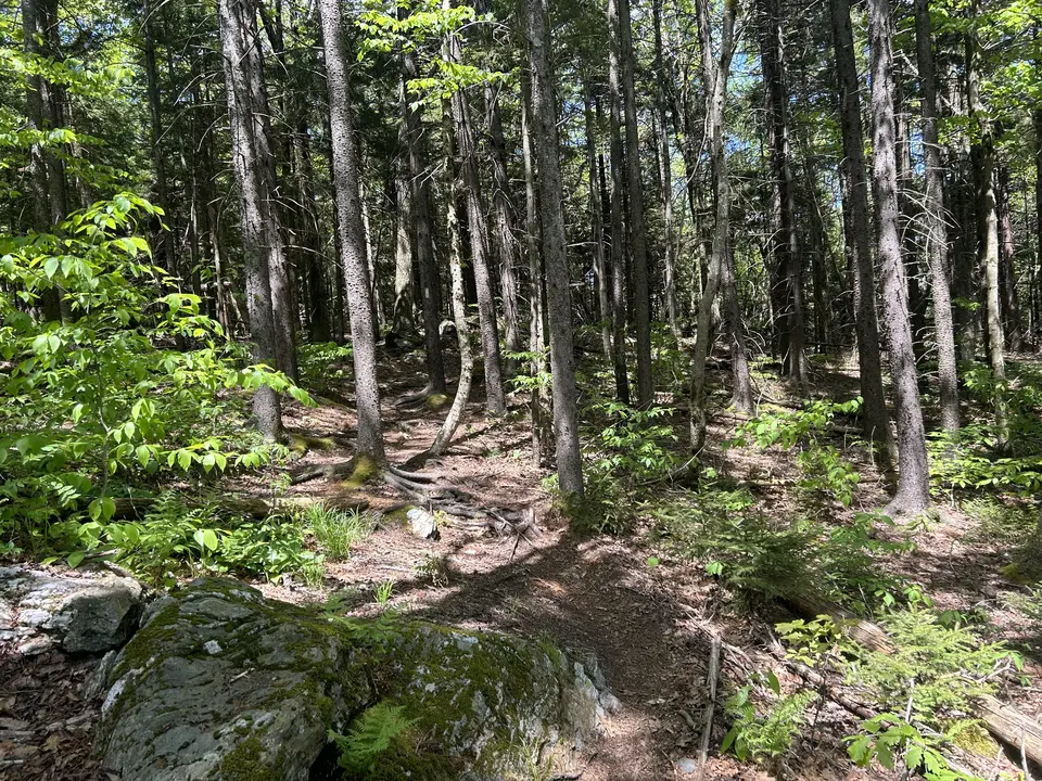
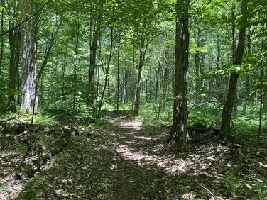
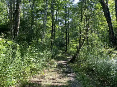
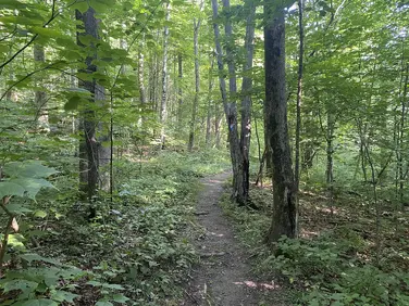
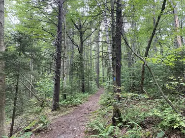
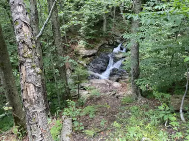
The woods, with tall skinny trees.
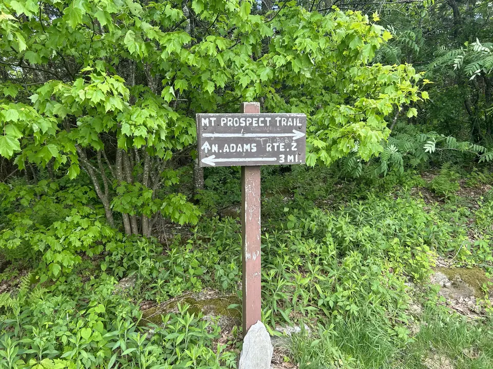
A sign indicating the trails.
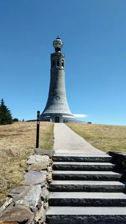
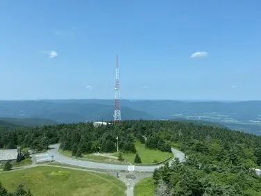
A monument at the top of Greylock.
Allowed Uses & Features
Information
This parking area on Notch Road is a good starting point for a 0.5-mile moderate hike northbound to Mt Prospect Overlook or a longer, more strenuous 3.1-mile hike southbound to the summit of Mount Greylock. Parking at this location is for day use only--no overnight parking is permitted. When roads on Mount Greylock are closed from mid-October to mid-May, this location is only accessible on foot or by snowmobile.
The A.T. crosses Notch Road itself a few hundred feet north of the parking area, but there are blue-blazed access trails that connect directly to the A.T. Northbound hikers cross the road and follow the blue-blazed access trail to the white-blazed A.T., turning left to head towards Mt Prospect. The Money Brook Trail is soon passed at a well-signed intersection and leads 0.3 to Wilbur Clearing Shelter and Campsite, an overnight backpacker site. It continues 1.1 miles to Money Brook Falls and terminates at the Hopper Road Trailhead in 3.5 miles. Continuing on the A.T., hikers reach the overlook after a brief, steep climb.
Southbound visitors take a blue-blazed access trail directly from the parking area, turning left at the next intersection, then right on the white-blazed A.T. southbound. The Bernard Farm Trail is crossed at 1.1 miles, shortly after the summit of Mt Williams. Mount Greylock summit is reached after another 2 miles.
The Appalachian Trail (or A.T.) is a 2,100-mile footpath stretching from Maine to Georgia. 90 miles of the Trail are in Massachusetts, traversing the Berkshires. Local volunteers manage and maintain the footpath and the surrounding trail corridor in partnership with the Massachusetts Department of Conservation and Recreation (DCR) and the National Park Service Appalachian Trail Park (NPS-APPA). While popular with day hikers and backpackers, the A.T. is managed as a primitive backcountry trail with limited amenities. Visitors should dress for the range of expected weather, wear sturdy shoes, and carry the Ten Essentials on their hike. Bicycles and motorized vehicles are not permitted on the A.T. For more on the Appalachian Trail, visit the Appalachian Trail Conservancy’s website.
Massachusetts Department of Conservation and Recreation
Mount Greylock State Reservation
Tell others about this place
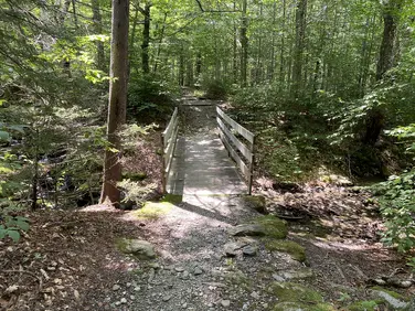
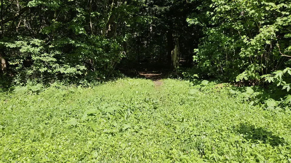
This site has a small unpaved parking area near the trailhead. The trail has a 3-mile route to the summit of Mount Greylock that is steep (15%) and narrow (less than 4 feet wide for most of the trail). The shorter 0.5-mile route leads to Wilburs Clearing. This route has a bridge crossing with a 1-inch high gap to get on the bridge. This trail is wider than 4 feet for most of its length; however, it is covered with large sticks and leaves, which are difficult to avoid.

The road leading to the parking lot.
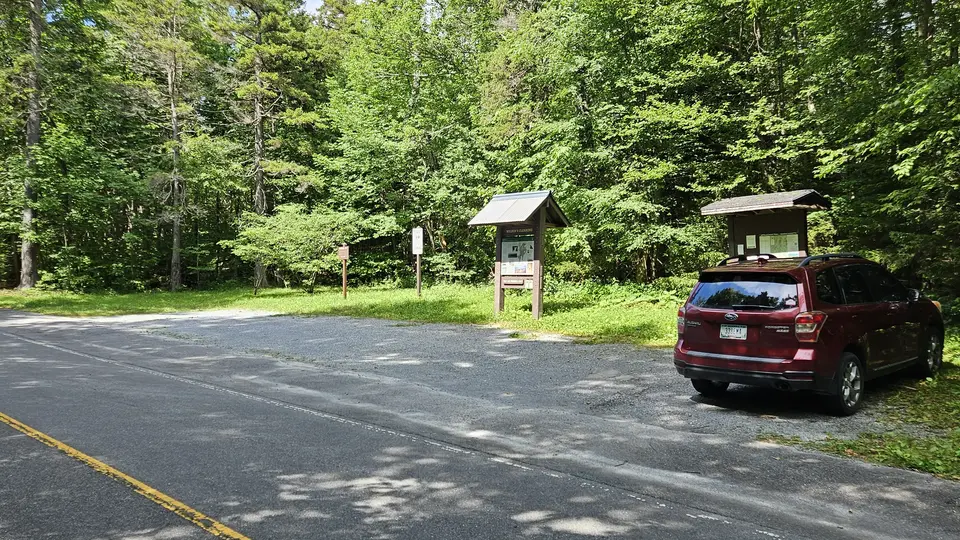
The small parking area, off the side of Notch Road.
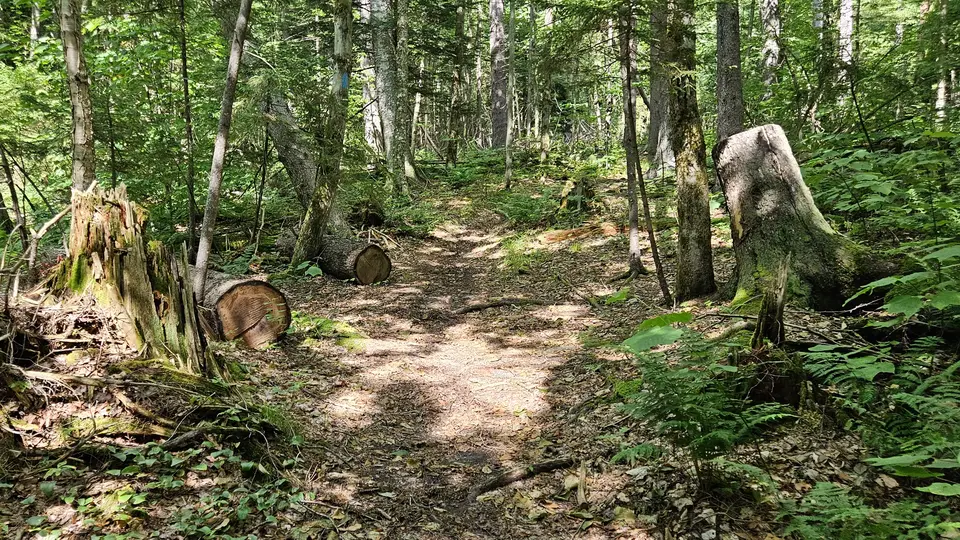
The trail covered in leaves and sticks.
Looking to meet up with others for team sports or group activities? Check out our list of clubs, guides and leagues in the Berkshires on the Resources page. Our list of summer camps will help you plan an overnight or day camp adventure for your young ones.
We also link to an array of outdoor recreation retail shops for gear and rental facilities for equipment on the Gear page.