Appalachian Trail Trailhead - Rockwell Road
Mount Greylock State Reservation
Williamstown, MA
Snowshoeing | Hiking
Massachusetts Department of Conservation and Recreation
Mount Greylock State Reservation
Allowed Uses & Features
Information
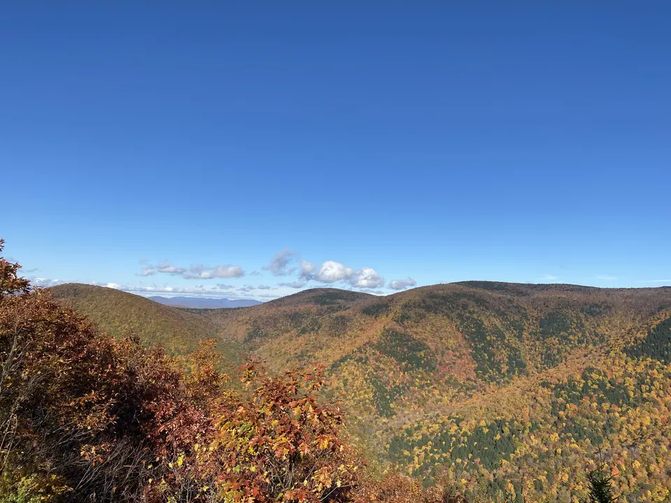
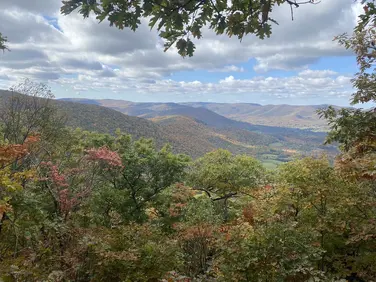
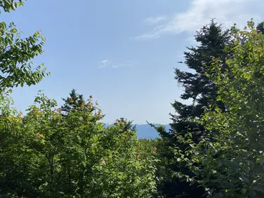
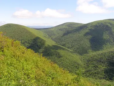
The mountains covered in vibrant fall foliage, seen from the trail.
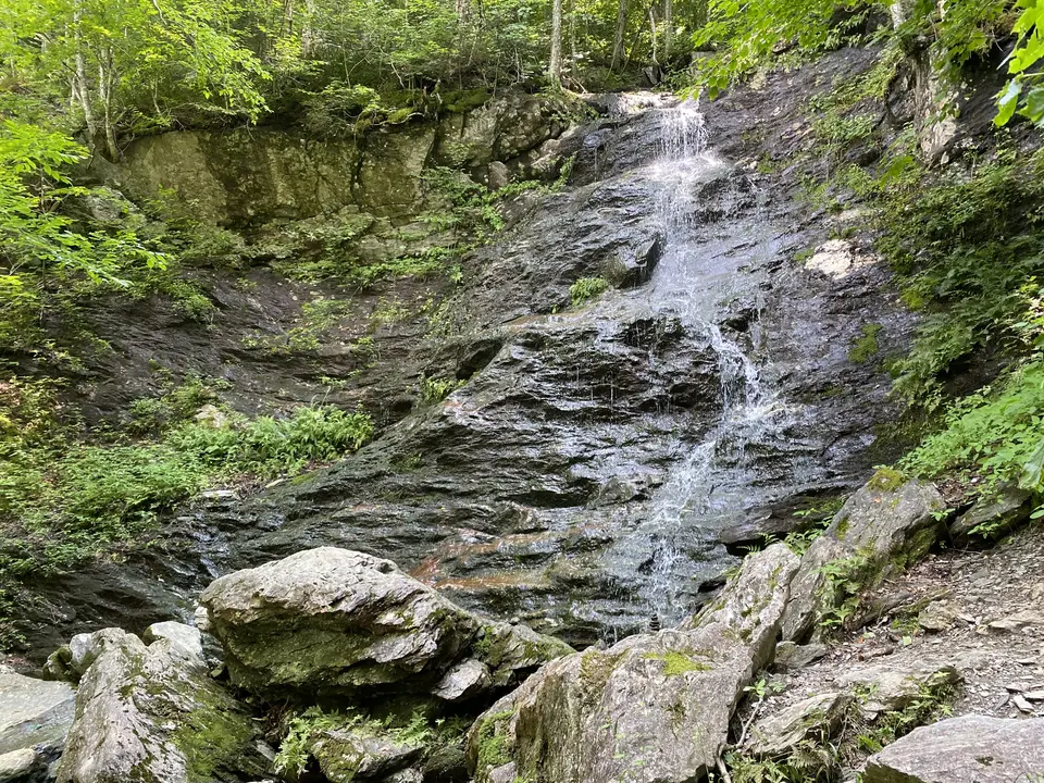
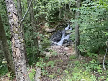
A waterfall running down rock face.
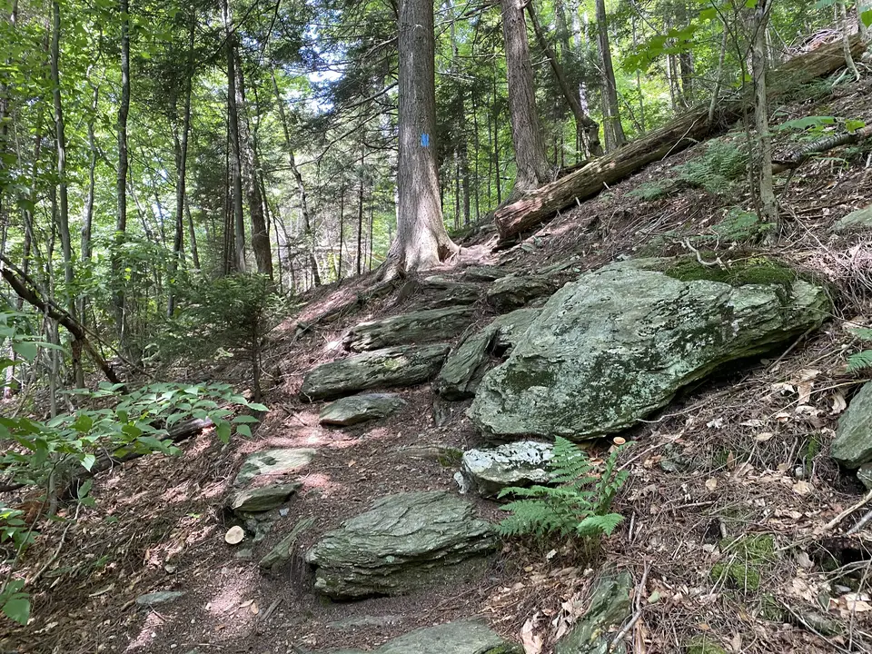
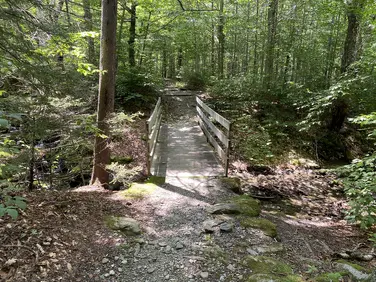
The trail, going by large stones.
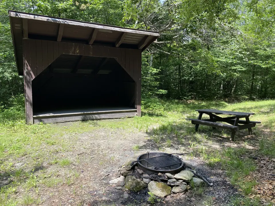
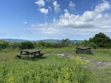
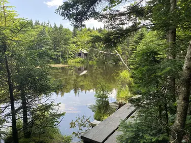
A small shelter, picnic table, and camfire.
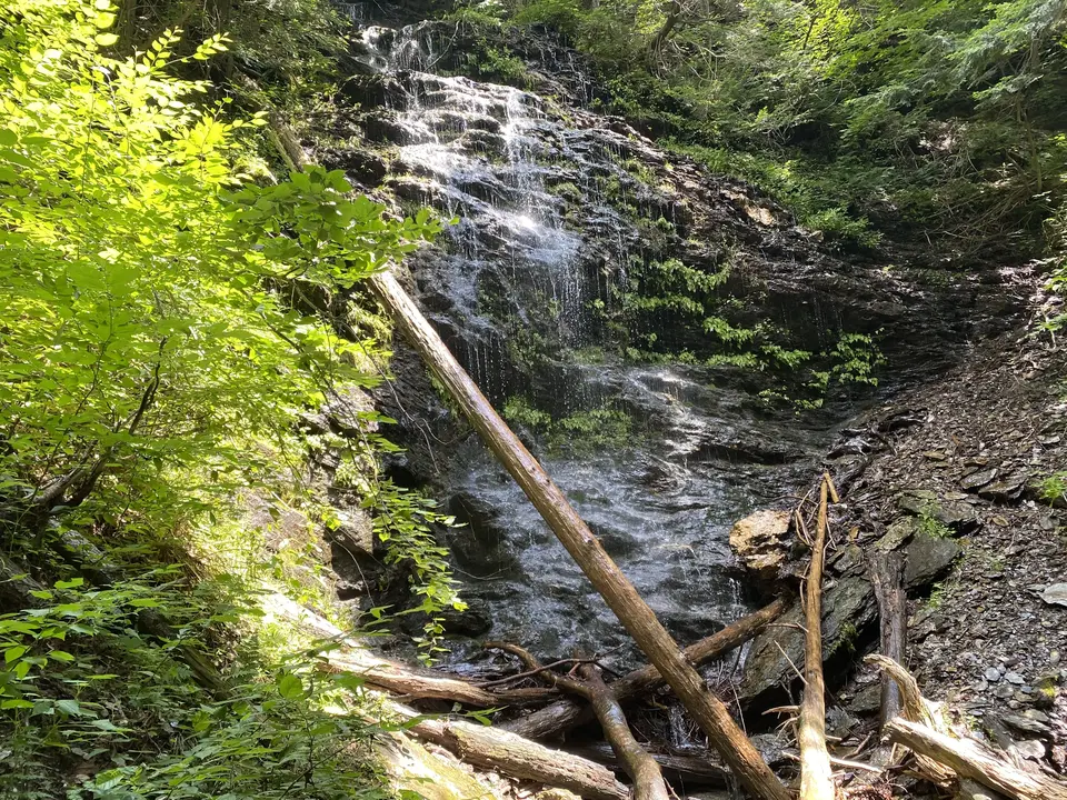
A small waterfall by the trail.
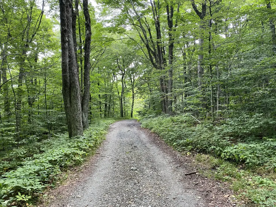
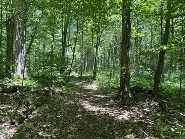
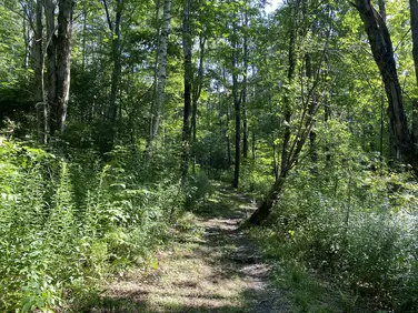
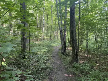
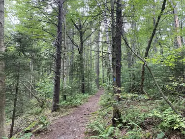
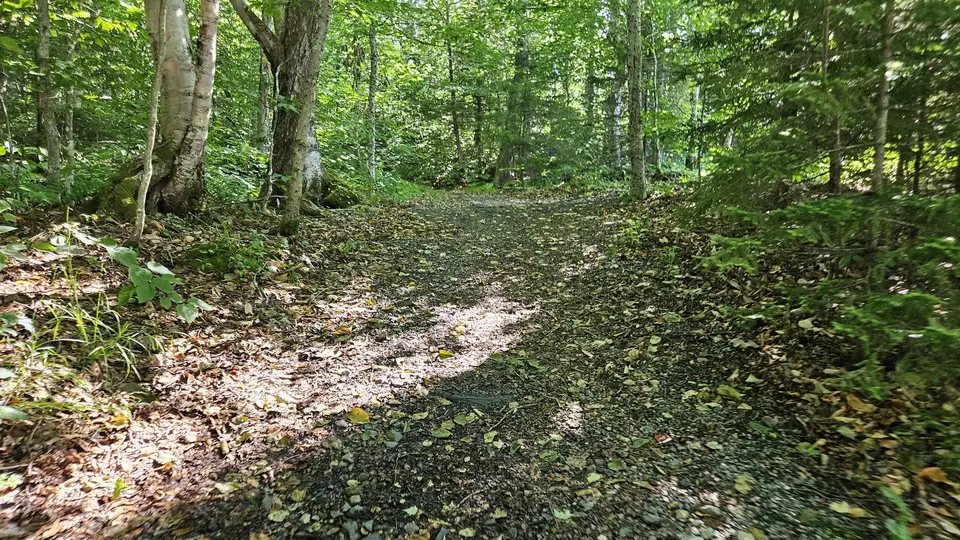
The trail going through the woods.
Allowed Uses & Features
Information
Close to the parking area, there are many trails. The C.C.C. Dynamite Trail will bring visitors to the Appalachian Trail at Jones Nose. The Hopper Trail leaves from the beginning of Sperry Road and treks to the summit of Mount Greylock. The CCC Dynamite Trail is 1.4 miles long. The Sperry Road Trail is 1.9 miles out and back.
The Sperry Road Trail will bring visitors to Sperry Road Campground in Mount Greylock State Reservation. This reservable hike in back-country camping area features an expansive array of shelters and tent sites, offering a perfect place to stay with family or friends. Visitors will find several group sites, 18 individual sites, and four backcountry bathroom facilities. Each campsite offers a fire pit, a bear box, and a picnic table.
Sperry Road Campground is temporarily closed for renovations and upgrades.
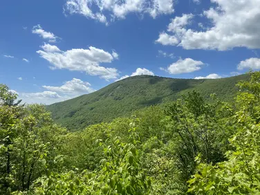
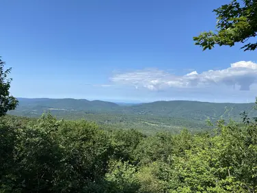
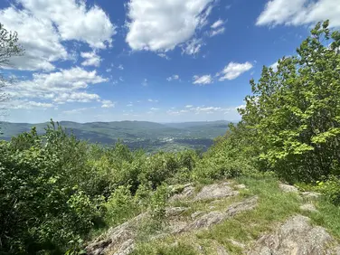
Around the campground, there are numerous hiking trails. Leaving directly from the group site area, visitors can hike on a steep trail toward Deer Hill Falls or March Cataract Falls. These waterfalls are tranquil spots to rest and picnic on warm summer days in Western Massachusetts. Further down Sperry Road, visitors will also access expansive scenic views of the Berkshires at Stony Ledge.
Visitors will find a small parking lot on the shoulder of Rockwell Road, just across from the entrance to Sperry Road. When Rockwell Road is closed between late October and mid-May, this trailhead is only accessible by foot or snowmobile.
The State Reservation is open for hunting from October to May; however, it is prohibited within the Summit's War Memorial Park any time of the year.
Massachusetts Department of Conservation and Recreation
Mount Greylock State Reservation
Tell others about this place
This site has a large, compacted gravel parking lot. The trail connects directly to the parking lot. The trail is 4 feet wide and relatively flat for its 1.4 mile duration. There are some short sections that are as steep as 12%, but it is on average 2%. The trail is covered in leaves. There are a few sticks and stones on the trail, but the width of the trail makes it possible to avoid these. At the trailhead, there is a non-accessible picnic table near an overlook.
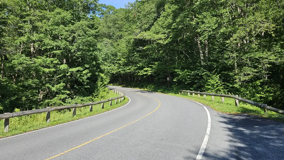
The road by the parking lot.
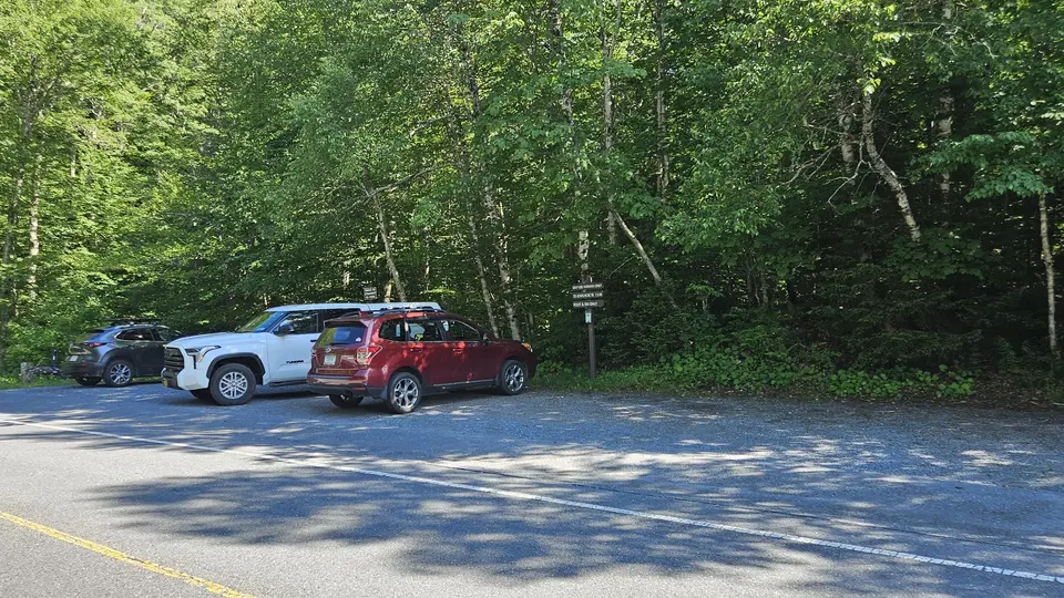
The compacted gravel parking lot.
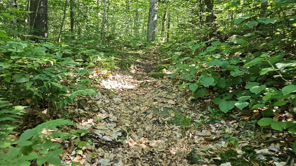
The path, covered in leaves.
The wide path, going up a short hill, covered in leaves.

The non-accessible picnic table, by an overlook.
Looking to meet up with others for team sports or group activities? Check out our list of clubs, guides and leagues in the Berkshires on the Resources page. Our list of summer camps will help you plan an overnight or day camp adventure for your young ones.
We also link to an array of outdoor recreation retail shops for gear and rental facilities for equipment on the Gear page.