Appalachian Trail Trailhead - Rockwell Road
Mount Greylock State Reservation
Williamstown, MA
Snowshoeing | Hiking
Massachusetts Department of Conservation and Recreation
Mount Greylock State Reservation
Allowed Uses & Features
Information
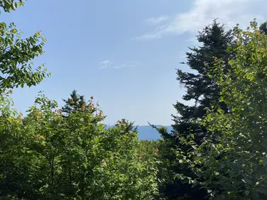
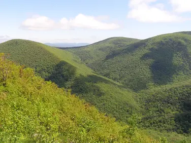
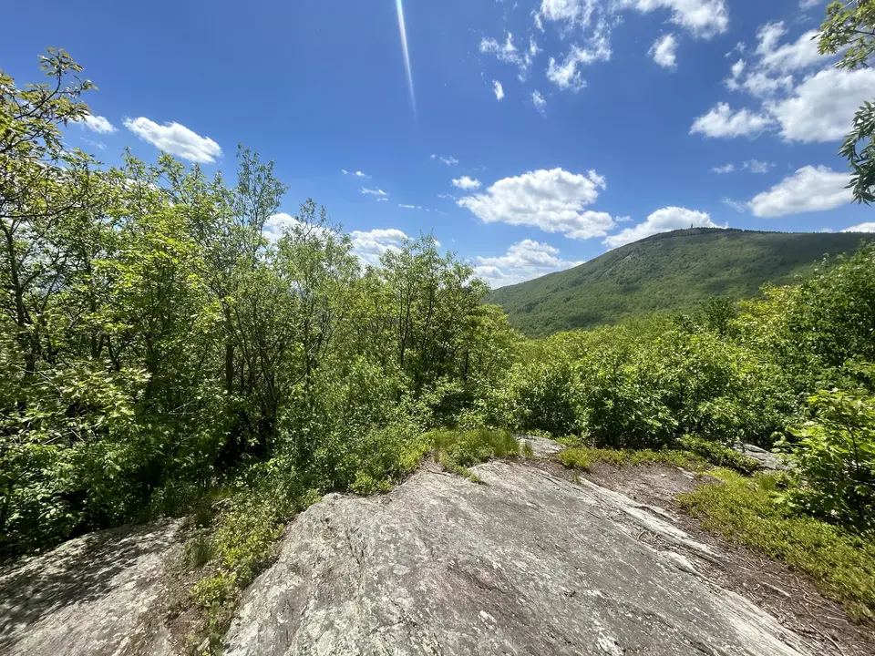
Mount Greylock seen through treetops.
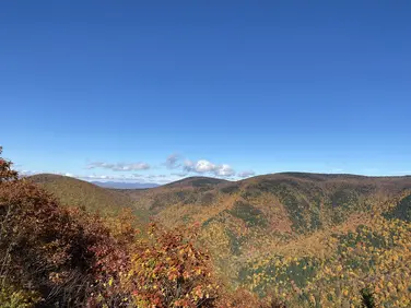
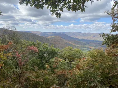
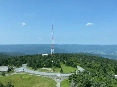
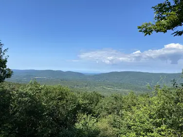
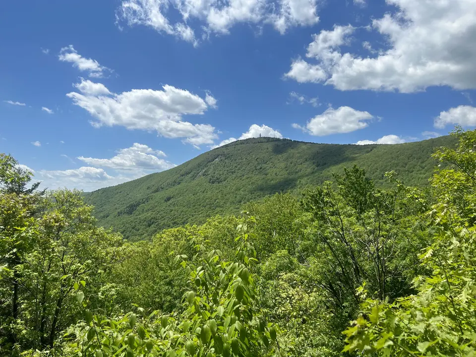
Mount Greylock seen from an overlook along the trail.
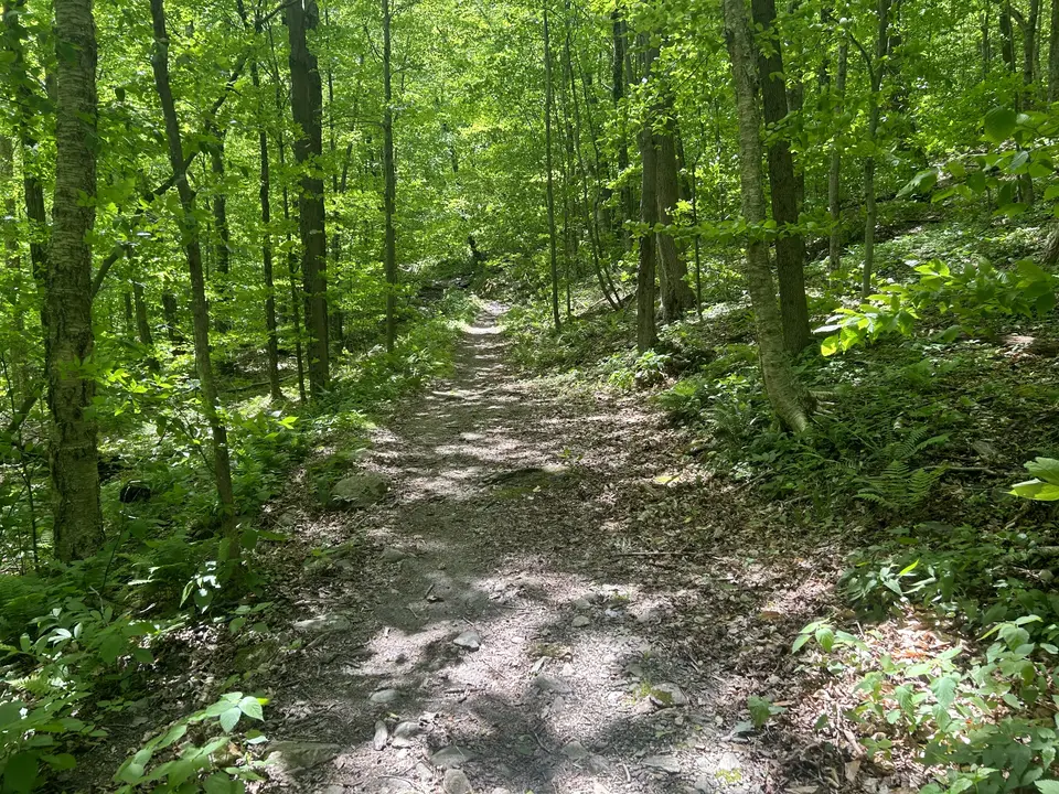
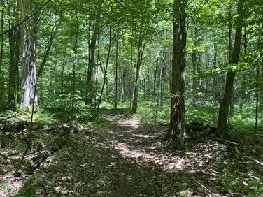
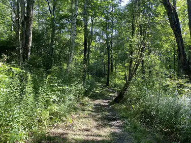
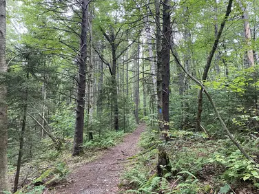
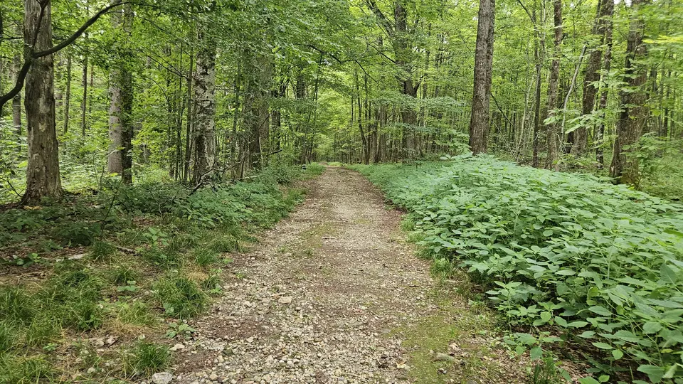
The dirt trail winding through the forest.
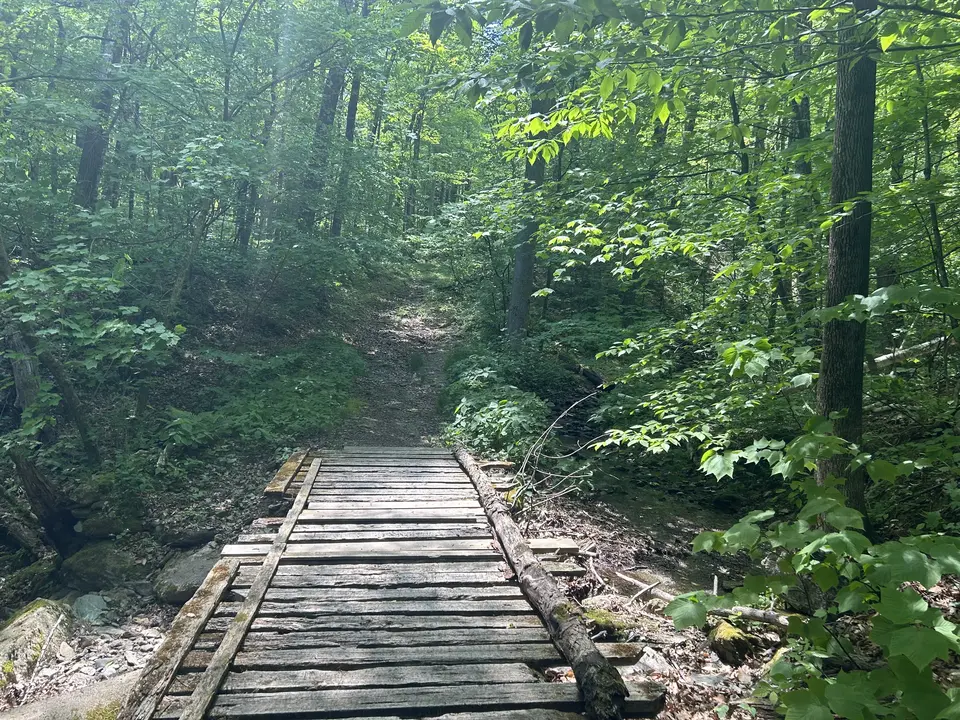
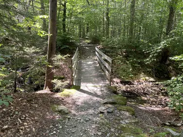
A small wooden bridge crossing along the trail.
Allowed Uses & Features
Information
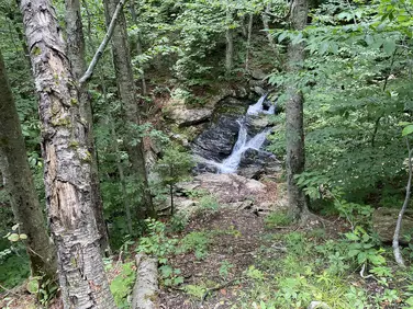
The Bellows Pipe Trail is a moderate hiking trail in Mount Greylock State Reservation. The pathway will provide visitors access to an expansive hiking area with overlooks, waterfalls, and plenty of wildlife-viewing opportunities. The trail is 5.8 miles up and down the summit.
Visitors will leave the trailhead on a double-track road through a forest of red oaks and maples. The trail is consistently rocky, and visitors must cross several mountain streams as they steadily climb. Many local wildlife species, including birds and salamanders, will be visible throughout the pathway. Wildflowers are also abundant when the weather begins to warm in spring.
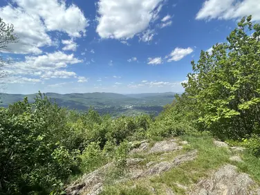
Eventually, after a gradual climb, visitors will arrive at a trail junction with the Ragged Mountain Trail. This narrow pathway leads up a steep slope to scenic views near the top of Ragged Mountain. When the weather begins to cool in autumn, this overlook showcases the vibrance of fall foliage across the Berkshires.
While continuing on the Bellows Pipe Trail, visitors will soon arrive at a lean-to, perfect for camping trips with friends or family. The trail then steeply ascends to panoramic views at the summit of Mount Greylock.
Visitors will find a small parking area near the intersection of Notch Road and Reservoir Road. In the wintertime, when Notch Road is closed, this is an excellent starting point for a hike in the State Reservation. The State Reservation is open for hunting from October to May; however, it is prohibited within the Summit's War Memorial Park any time of the year.
Massachusetts Department of Conservation and Recreation
Mount Greylock State Reservation
Tell others about this place
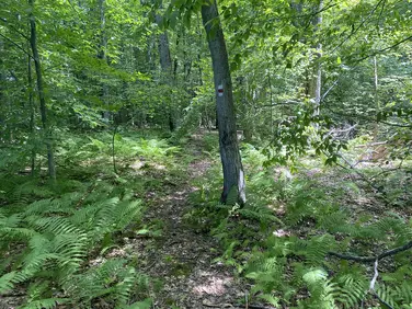
This site has a small gravel parking lot. The parking lot is uneven with small loose rocks (less than 2 inches in diameter). There is a 3-foot gap at the trailhead, between a large tree and a fence. The trail is uneven and covered with small rocks. This trail extends up Mount Williams, then over to Mount Greylock, with the first section of the trail being very steep, reaching beyond a 15% grade.
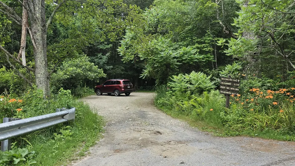
The gravel parking lot and trailhead sign.
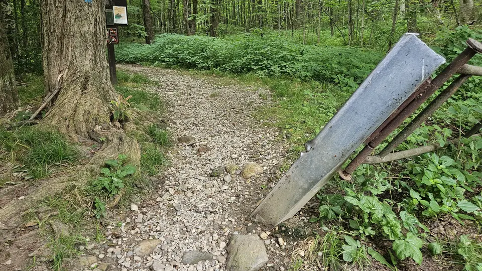
A 3 foot gap between a large tree and a fence at the trailhead.
The 5 foot wide trail, covered with gravel and small sticks.
Looking to meet up with others for team sports or group activities? Check out our list of clubs, guides and leagues in the Berkshires on the Resources page. Our list of summer camps will help you plan an overnight or day camp adventure for your young ones.
We also link to an array of outdoor recreation retail shops for gear and rental facilities for equipment on the Gear page.