AMC AT Connector Trailhead
Appalachain Trail Corridor
Mount Washington, MA
Snowshoeing | Hiking
Massachusetts Department of Conservation and Recreation
Appalachain Trail Corridor
Allowed Uses & Features
Information
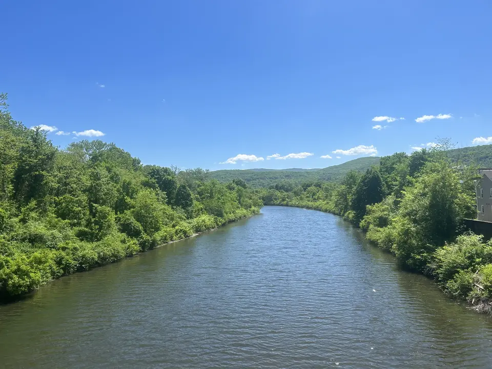
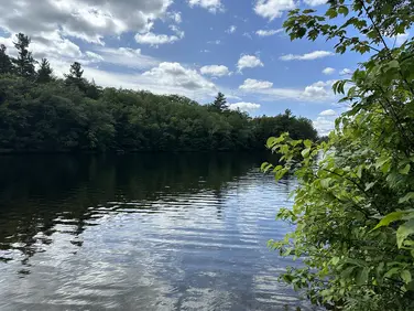
A view of water from the trail.
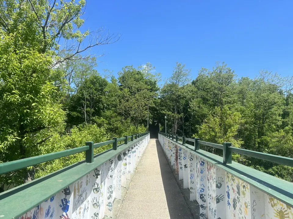
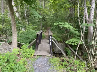
A bridge crossing near the trailhead.
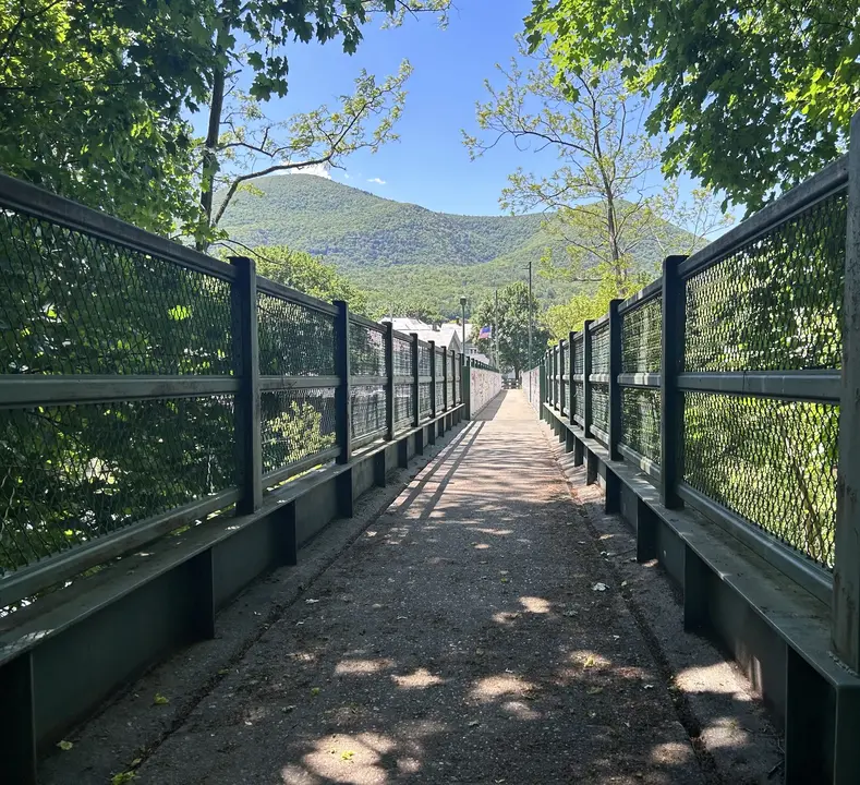
A bridge crossing near the trailhead.
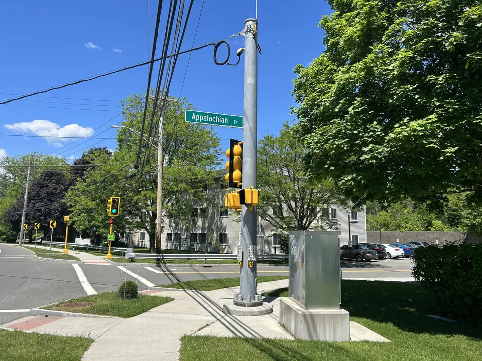
Appalachian Street.
Allowed Uses & Features
Information
This trailhead is actually a parking area on the north side of Rt 2 about 600 feet east of where the A.T. crosses the highway. The parking is primarily for backpackers intending to be out for a few days--but day hikers are welcome if there is sufficient space. The parking area is usually full in late July and early August, particularly on weekends. Other, nearby parking areas for A.T. day hikers are at Massachusetts Ave to the north, and Pattison Rd to the south. The Trail crossing is also served by the BRTA .
To reach the Trail, walk west on Rt 2 to the stoplight at Phelps Ave. Turning right, northbound hikers cross the Hoosic River and Guilford Transportation train tracks on a long footbridge, then right on Massachusetts Ave, following white painted blazes on the utility poles. Shortly, a left turn takes the Trail across Massachusetts Ave and into the woods along Sherman Brook. A connection with the network of trails developed by Tourists Motel is made on the bridge stairs above the north bank of the Hoosic.
Southbound visitors turn left, crossing the highway and walking through the West End neighborhood on Phelps Ave. Look for white paint blazes on the utility poles. Leaving the sidewalk at Catherine St, continue most of the way up the remaining bit of Phelps Ave, then turn left into the woods before continuing to climb to Pattison Rd. Cross Pattison and climb steeply to Mt Prospect overlook for expansive views to the west--before continuing to Mt Greylock and beyond.
The Appalachian Trail (or A.T.), is a 2100 mile footpath stretching from Maine to Georgia. 90 miles of the Trail are in Massachusetts, traversing the Berkshires. Local volunteers manage and maintain the footpath and the surrounding trail corridor in partnership with the Massachusetts Department of Conservation and Recreation (DCR) and the National Park Service Appalachian Trail Park (NPS-APPA). While popular with both day hikers and backpackers, the A.T. is managed as a primitive backcountry trail with limited amenities. Visitors should dress for the range of expected weather, wear sturdy shoes, and carry the Ten Essentials on their hike. Bicycles and motorized vehicles are not permitted on the A.T. For more on the Appalachian Trail, visit the Appalachian Trail Conservancy’s website.
Massachusetts Department of Conservation and Recreation
Appalachain Trail Corridor
Tell others about this place
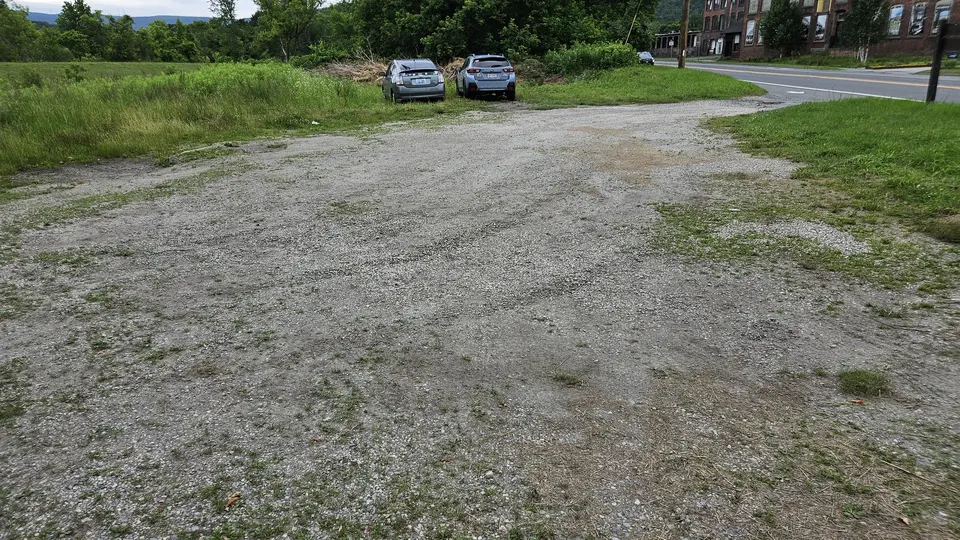
This site has an uneven gravel parking lot. To access the trailhead, one must cross State Road and walk several hundred feet along the paved road. The Appalachian Trail itself is not accessible.
The parking lot.
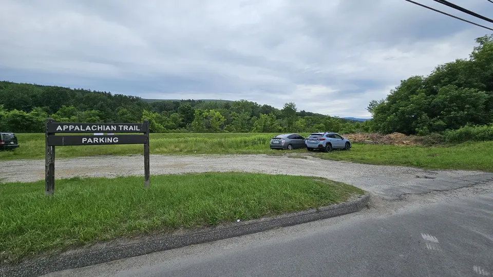
The entrance.

The parking lot.
Looking to meet up with others for team sports or group activities? Check out our list of clubs, guides and leagues in the Berkshires on the Resources page. Our list of summer camps will help you plan an overnight or day camp adventure for your young ones.
We also link to an array of outdoor recreation retail shops for gear and rental facilities for equipment on the Gear page.