AMC AT Connector Trailhead
Appalachain Trail Corridor
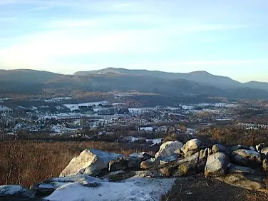
Mount Washington, MA
Snowshoeing | Hiking
Massachusetts Department of Conservation and Recreation
Appalachain Trail Corridor
Allowed Uses & Features
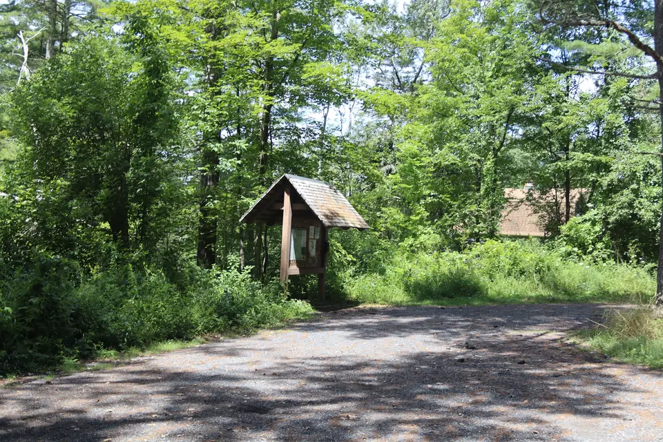
Information
Entrance to the parking area for the Appalachian Trail (left), off Tyringham Road, facing northwest.
Allowed Uses & Features
Information
This trailhead has parking for 6-8 vehicles. It is plowed in the winter. Northbound hikers can spot a 2nd car at Webster Road in Tyringham for a short 1.8 mile hike. Southbound hikers can similarly spot a car at Tyringham Cobble Parking for a short, easy 1 mile hike, mostly through open fields. A more challenging 6.2 mile southbound hike can be had by spotting a car at the gate area of Beartown Mountain Road. Note that there are other road crossings in these descriptions, but there is no suitable parking at the A.T. crossing.
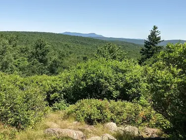
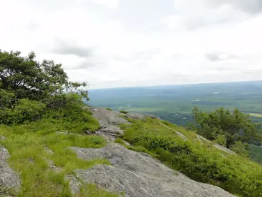
The A.T. crosses Main Road just south of the parking area (the A.T. is actually going east and west here--just look for the obvious path leaving the parking area along the road). Northbound hikers cross Main Road and start a long climb to Webster Road. Topping out temporarily in a grove of white pines, the Trail crosses a flatter area in relatively open woods before resuming the climb over Baldy Mountain (which is not bald). Like many relatively short hills with similar names in the Berkshires, it has returned to forest after being cleared for grazing or agriculture in the 18th and 19th centuries. There are a few high bush blueberry plants remaining near the Trail on this section. Many stone walls are crossed. Descending, Webster Road is reached in 1.8 miles. Hikers can set up a longer day by ending their trip at Goose Pond Road.
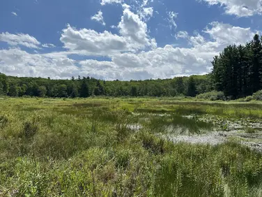
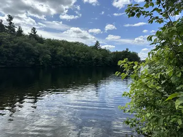
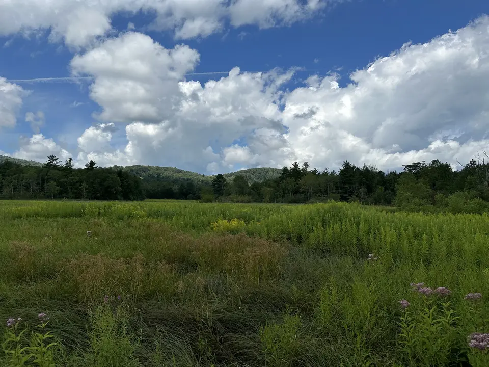
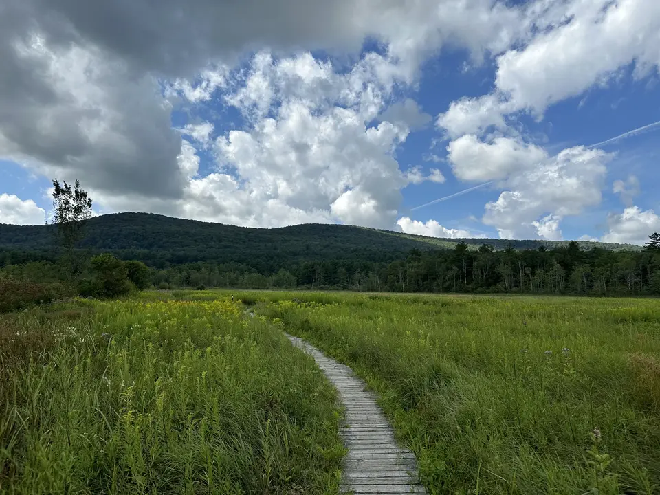
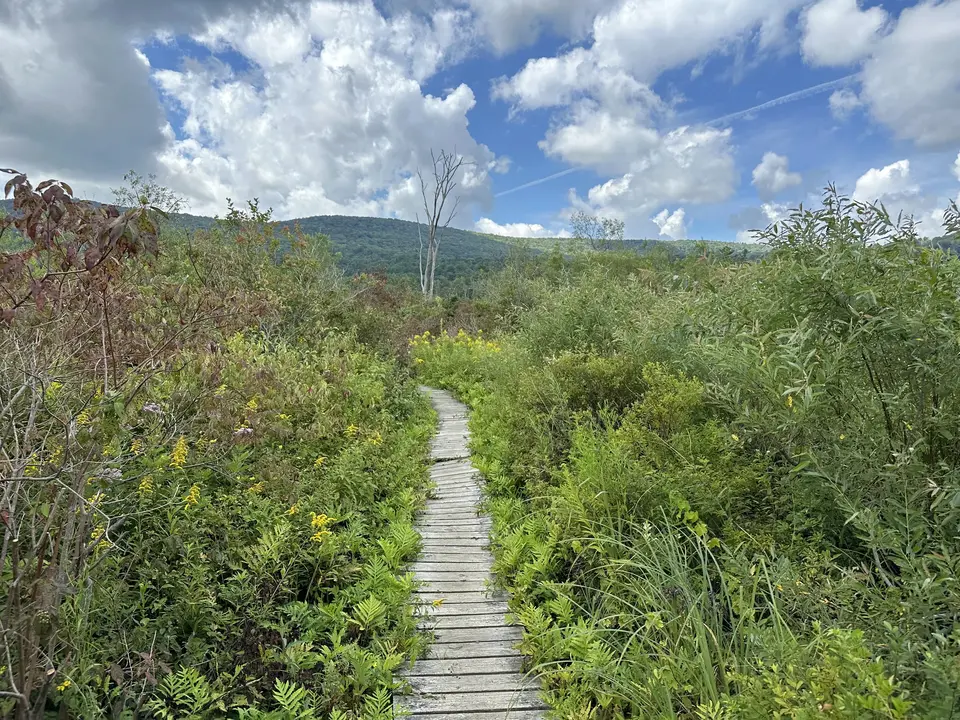
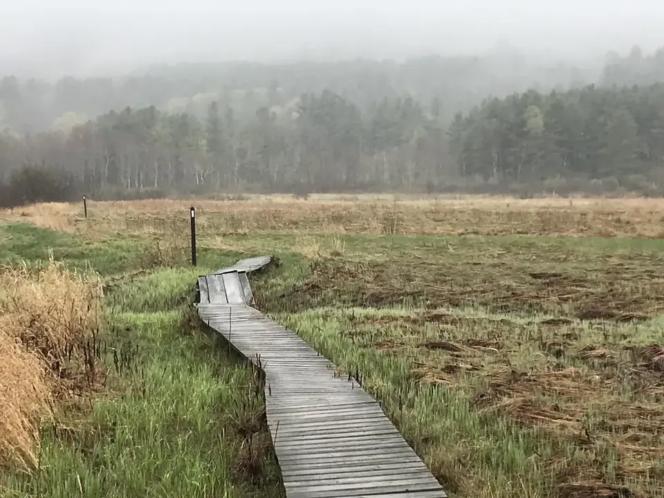
Southbound hikers from the Main Road parking area follow the same obvious path along the road and turn right, descending into, overgrown, partially wooded areas that were once open fields. The Tyringham valley, threaded through by Hop Brook, supported active agriculture from the time of European settlers, most famously the Shakers in the mid 1800’s. Today, a few parts of the valley are kept open by grazing, or haying. Others are mowed every year or two to keep them open. This can be challenging, as beavers are quite active along Hop Brook and stream flooding can make fields too soft to support heavy equipment. The A.T. crosses several fields kept open by mowing on an every other year cycle.
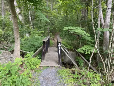
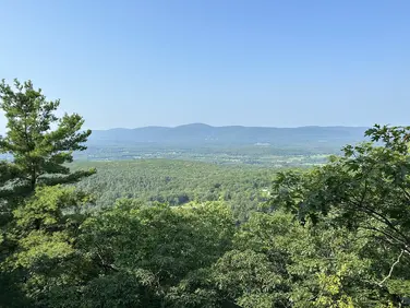
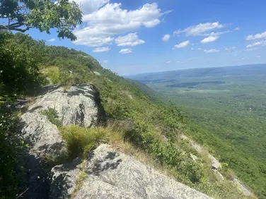
Because of flooding and the low-lying nature of the land, the southbound A.T. travels on extensive boardwalks near Main Road. Hop Brook is spanned by a trail bridge that is regularly underwater in heavy rain events or spring melt. Use caution, as the stream here is over 8 feet deep. After crossing the bridge and the first field, the AT enters a short stretch of woods between two fields before crossing an underground gas pipeline then re-entering the woods, crossing several streams on trail bridges, and climbing slightly to Jerusalem Road at 1 mile. Turning right, hikers can walk down this quiet road for approximately ½ mile to the Tyringham Cobble parking area on the left. Optionally hikers can cross the road, and climb another 0.5 miles through old fields and remnant orchards to the top of Tyringham Cobble with fine views of this iconic New England landscape below. Additional trails on the Cobble lead back to the parking area. More info at the Trustees of Reservations Tyringham Cobble .
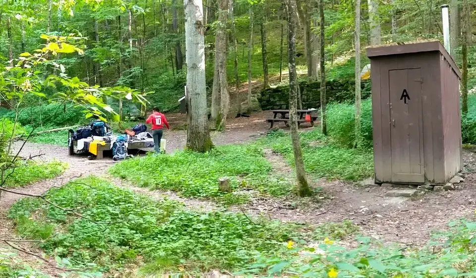
Hikers planning to travel further southbound on the A.T. follow the Trail down the back side of the Cobble then along Hop Brook before entering another series of open fields maintained by periodic mowing. Re-entering the woods the Trail crosses a small stream, then continues on level ground through mixed woodlands to Shaker Campsite at 2.9 miles from Main Road. This is a primitive overnight site for A.T. backpackers. Passing the campsite the Trail begins a long, and occasionally steep climb, crossing Fernside Road and continuing to climb into Beartown State Forest. Eventually, the route levels out crossing a number of un-bridged streams before arriving at Beartown Mountain Road at 6.2 miles. Turning left, follow the road a short distance to the gate and parking area.
The Appalachian Trail (or A.T.), is a 2100 mile footpath stretching from Maine to Georgia. 90 miles of the Trail are in Massachusetts, traversing the Berkshires. Local volunteers manage and maintain the footpath and the surrounding trail corridor in partnership with the Massachusetts Department of Conservation and Recreation (DCR) and the National Park Service Appalachian Trail Park (NPS-APPA). While popular with both day hikers and backpackers, the A.T. is managed as a primitive backcountry trail with limited amenities. Visitors should dress for the range of expected weather, wear sturdy shoes, and carry the Ten Essentials on their hike. Bicycles and motorized vehicles are not permitted on the A.T. For more on the Appalachian Trail, visit the Appalachian Trail Conservancy’s website.
Massachusetts Department of Conservation and Recreation
Appalachain Trail Corridor
Tell others about this place
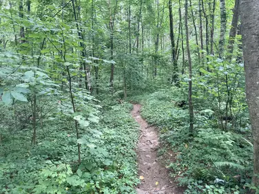
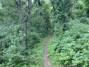
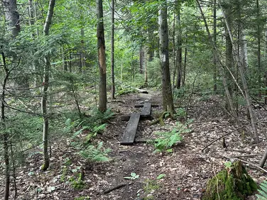
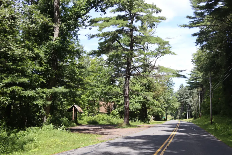
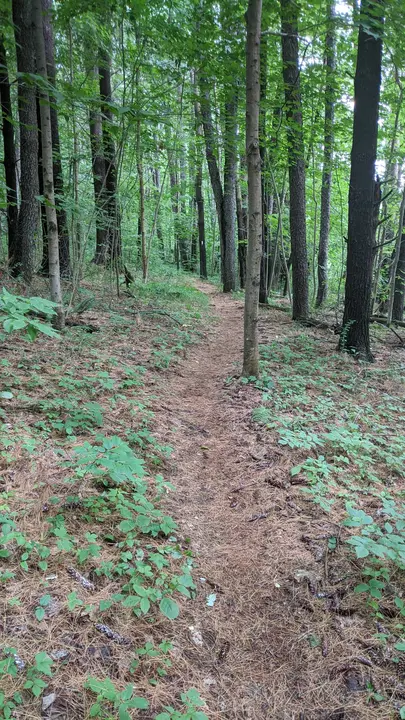
Parking for the Appalachian Trail intersection with Tyringham Road is in an enclosed pull-off area. The parking area holds room for at least 6 cars, in a level, compact area comprised of gravel. While the parking is not directly adjacent to the trail, the trail can be accessed through a short trail through the woods marked by pink ribbons, or through a flat gravel path that runs alongside Tyringham Road for roughly 100 feet. The northbound section of the AT is hilly, with roots and rocks throughout. There are sustained grades of 10-15% continuing up to Baldy Mountain. The southbound section of the AT is flatter, with various sections of bog planks.
Parking area for the AT trailhead at Tyringham Road.
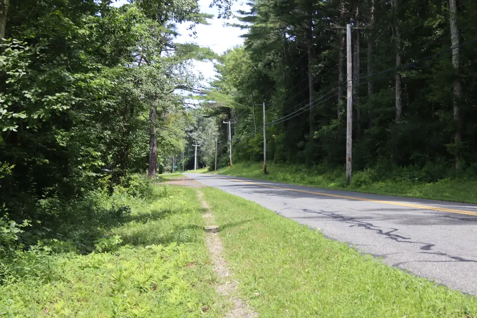
A short dirt path runs alongside Tyringham Road, connecting the parking area to the trail.

"Pink ribbon" trail that connects the parking area to the AT.
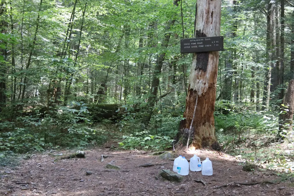
Water station at the intersection of the Appalachian Trail and the northside of Tyringham Road.
Looking to meet up with others for team sports or group activities? Check out our list of clubs, guides and leagues in the Berkshires on the Resources page. Our list of summer camps will help you plan an overnight or day camp adventure for your young ones.
We also link to an array of outdoor recreation retail shops for gear and rental facilities for equipment on the Gear page.