AMC AT Connector Trailhead
Appalachain Trail Corridor
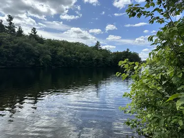
Mount Washington, MA
Snowshoeing | Hiking
Massachusetts Department of Conservation and Recreation
Appalachain Trail Corridor
Allowed Uses & Features
Information
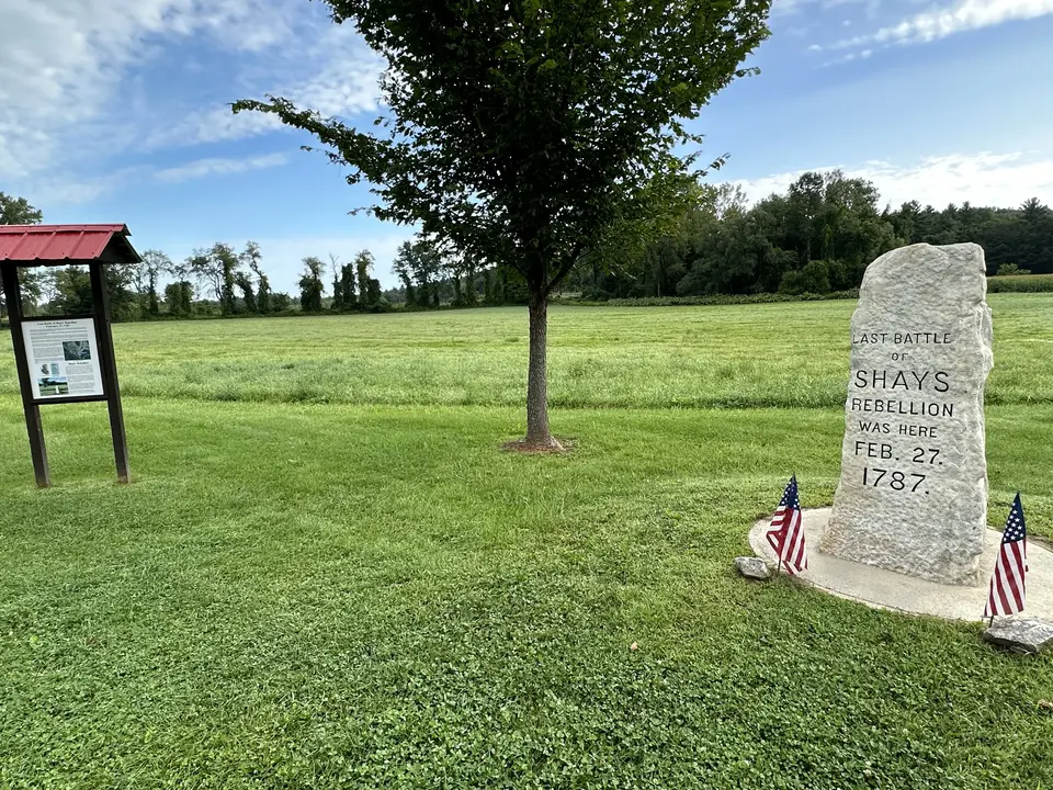
Shay's Rebellion Battle site Monument, only a brief distance north on the Appalachian Trail from the parking area.
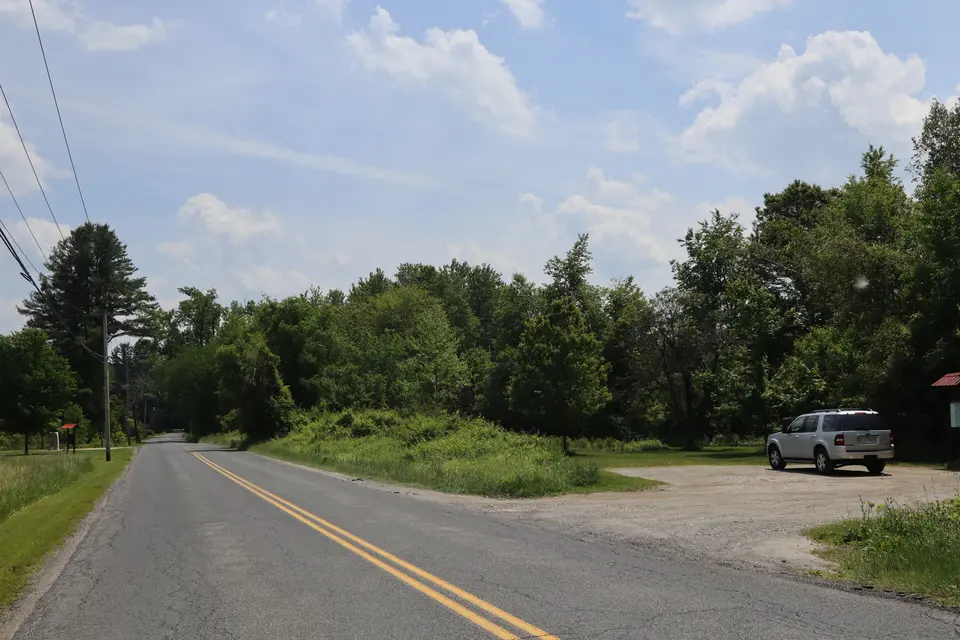
Entrance to the AT trailhead (right) off Sheffield-Egremont Road
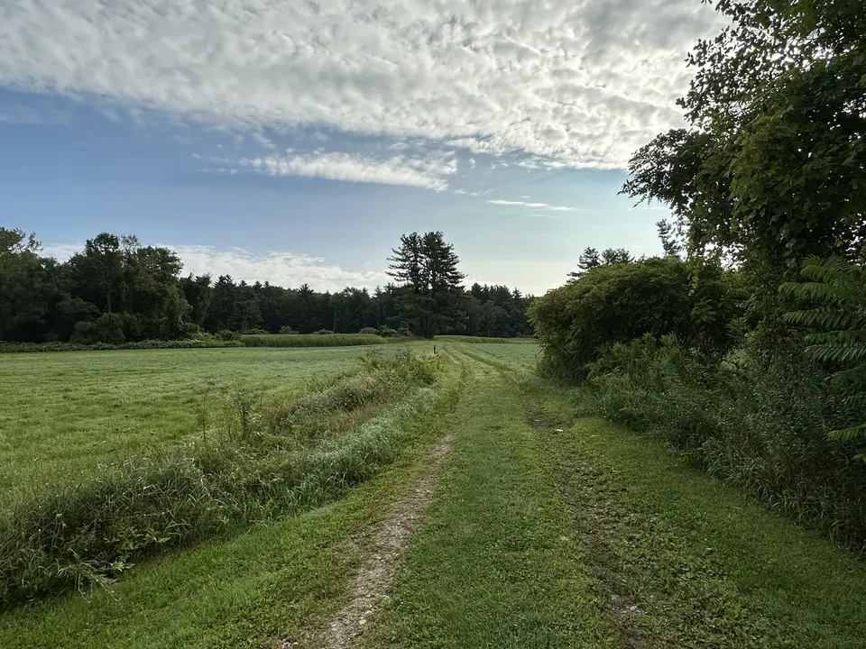
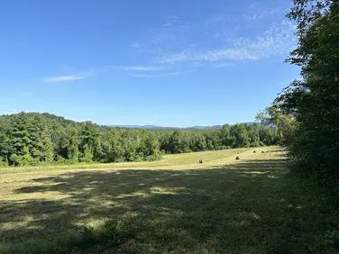
Open, grassy area of the AT.
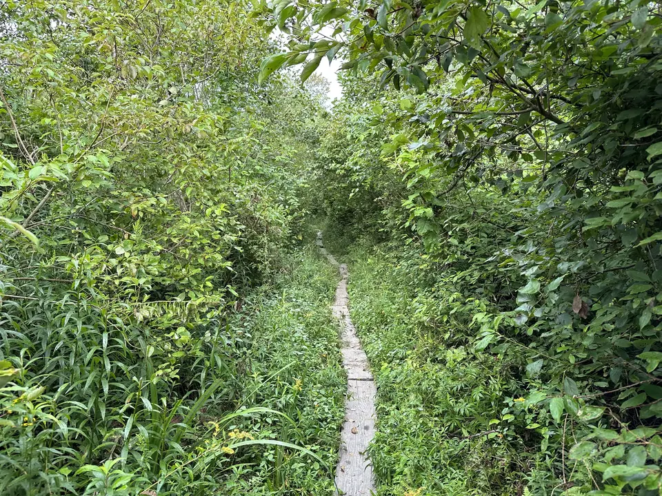
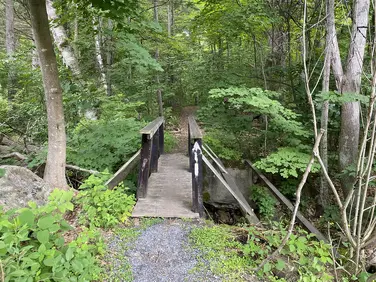
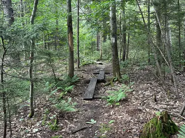
Narrow wooden planks traverse a marshy section of the AT.
Allowed Uses & Features
Information
This parking area holds about six vehicles. It’s right next to a monument memorializing the last battle of Shays’ Rebellion-a post-Independence uprising of farmers and war veterans against brutal economic practices. A small kiosk provides more information. Northbound hikers can spot a 2nd car at Home Road for a generally easy 4.6 mile hike-except for the last half which has some steep climbs to Home Road. Southbound hikers can spot a car at Jug End Road for an easy 2.7 mile hike.
Northbound hikers hike out of the parking area, crossing the road into adjacent agricultural lands and passing the monument before continuing through the fields on a mowed path. Crossing a private driveway, the Trail enters the woods in an area known as the Vossburg Hills. This was the site of lime kilns used in the making of iron in the 1700’s and 1800’s. Leaving the hills the Trail crosses a hay field on private land on a scenic easement provided by the owner reaching and reaching West Road at 1.1 miles. Crossing the road, the A.T. skirts a swampy ravine on the side of a small hill before crossing a swampy area on extensive boardwalks. Arriving at the tracks of the Housatonic Railroad, look both ways before continuing, bearing left along an old railbead before descending to diagonally cross an open field and arriving at US Route 7. Use caution crossing this busy road.
Going back into brushy woods, the Trail crosses a long trail bridge before traveling along the west bank of the Housatonic River for more than a half mile arriving at an old farm road. Following the road for a short distance to Kellogg Road, turn sharply left crossing the river on the road bridge before heading briefly back into the woods before once again entering an agricultural field. The Trail continues on a mowed path parallel to Kellogg Road before crossing Boardman Street at 3.1 miles and climbing into the forest on June Mountain. Over occasional steep stretches the Trail gets to the top of the mountain and travels along a short ridge before reaching Home Road.
Southbound hikers leave the west corner of the parking lot on a mowed path through dense undergrowth, before traveling on extensive bog bridges over wet ground before arriving at a trail bridge over Hubbard Brook. Turning to the right after crossing the bridge, several extremely large oak trees can be seen on the right before the Trail turns left and enters a swampy woods. On numerous bog bridges and small trail bridges the trail crosses the swamp before climbing a small ridge. Descending again and crossing a small stream the A.T. comes to another active agricultural field then crosses Route 41 (Undermountain Road) in South Egremont at 1.8 miles. The headquarters of Greenagers (a youth-centered outdoor education organization) is to the right approx 300 feet. The next stretch of Trail is through lands managed for agriculture by Greenagers.
Crossing Route 41, and continuing on a mowed path through two more fields, the Trail enters a white pine forest for another half mile before arriving at Jug End Road at 2.7 miles.
The Appalachian Trail (or A.T.), is a 2100 mile footpath stretching from Maine to Georgia. 90 miles of the Trail are in Massachusetts, traversing the Berkshires. Local volunteers manage and maintain the footpath and the surrounding trail corridor in partnership with the Massachusetts Department of Conservation and Recreation (DCR) and the National Park Service Appalachian Trail Park (NPS-APPA). While popular with both day hikers and backpackers, the A.T. is managed as a primitive backcountry trail with limited amenities. Visitors should dress for the range of expected weather, wear sturdy shoes, and carry the Ten Essentials on their hike. Bicycles and motorized vehicles are not permitted on the A.T. For more on the Appalachian Trail, visit the Appalachian Trail Conservancy’s website.
Massachusetts Department of Conservation and Recreation
Appalachain Trail Corridor
Tell others about this place
This trailhead for the Appalachian Trail consists of parking for 4 cars in a flat, compacted dirt area. The adjacent sections of the AT trail are relatively flat. The AT southbound trail is comprised of narrow, wooden bog bridges until it begins a steep climb up Jug End, roughly 2.5 miles from the trailhead. The northbound trail predominantly features grass and rolling hills.
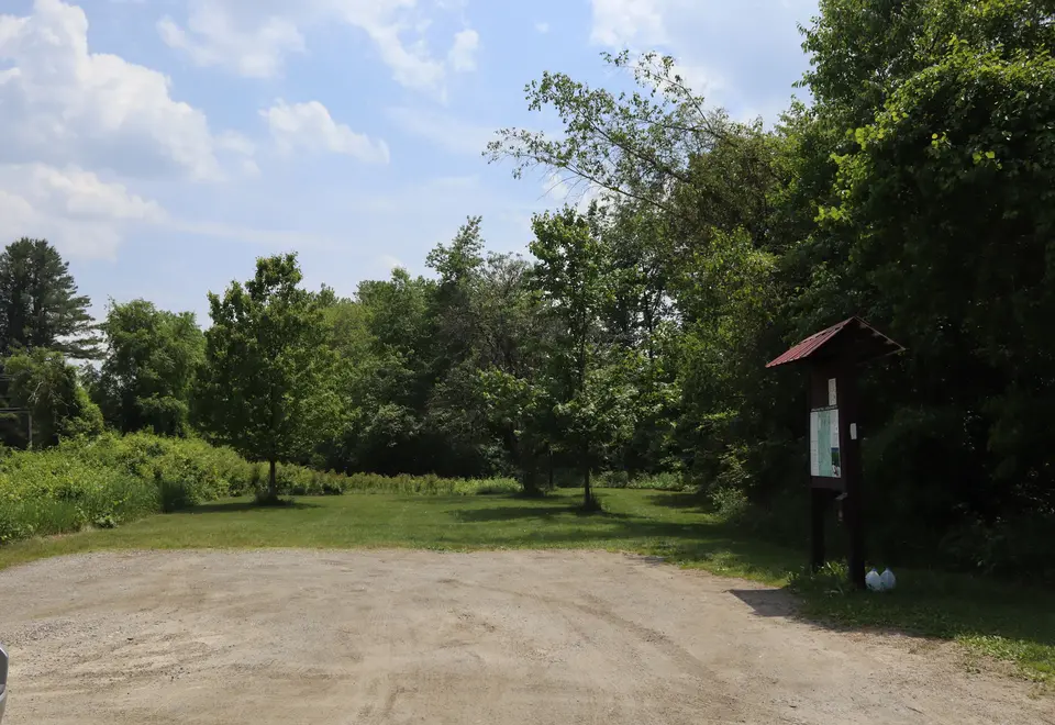
Dirt parking area for the Appalachian Trail.
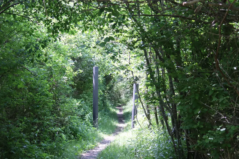
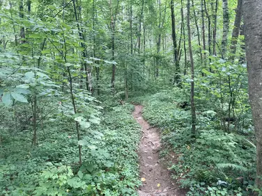
Flat, narrow section of the AT southbound a short distance from the parking area.
Looking to meet up with others for team sports or group activities? Check out our list of clubs, guides and leagues in the Berkshires on the Resources page. Our list of summer camps will help you plan an overnight or day camp adventure for your young ones.
We also link to an array of outdoor recreation retail shops for gear and rental facilities for equipment on the Gear page.