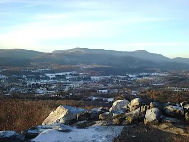
Appalachian Trail - Goose Pond Road
Appalachain Trail Corridor
Tyringham, MA
Snowshoeing | Hiking | Birding
Massachusetts Department of Conservation and Recreation
Appalachain Trail Corridor
Allowed Uses & Features
Information

Allowed Uses & Features
Information
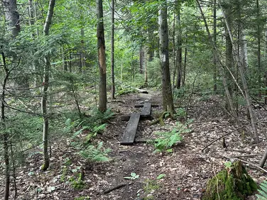
This location serves as the trailhead for the Appalachain trail and for the Mt Frissell Trail in Mount Washington State Forest. The AMC Connector to the A.T. is also the route to the Connecticut AMC Northwest Camp--a primitive rental cabin owned by the Appalachian Mountain Club (AMC). The Connector Trail passes the cabin and continues 0.7 miles to the A.T. Mileages on this page include this 0.7 mile connector. Northbound hikers can spot a car at the Race Brook Falls Trailhead on Rt 41 (Undermountain Rd) for a rugged 5.9 mile hike. Southbound hikers have a very rugged climb to the summit of Bear Mountain before descending more gently to the Undermountain Trail to the trailhead on Rt 41 in Connecticut for a total of 3.8 miles.
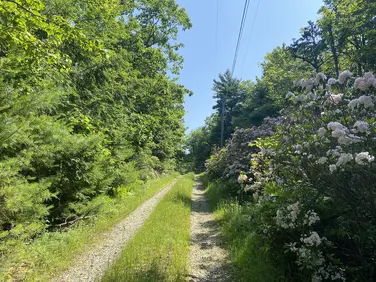
This parking area is open only from the north (Mt Washington) in the winter. The road from Salisbury Connecticut is privately maintained in places and is not always open. This location has a small parking lot, and there are a few other places to pull off the gravel road. Arrive early in the day for the most options. Keep the roadway clear and observe the private property signs.
Note that while listed mileages are relatively short, these sections of the Appalachian Trail are quite rugged, and the elevation changes can make for a challenging day. There are limited opportunities to shorten your hike, as the A.T. traverses the ridgeline and tops of the mountains.
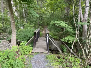
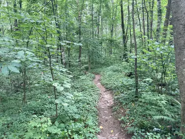
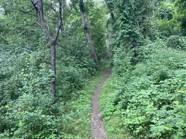
Northbound hikers leave the parking area through the gate onto the Connector trail and pass Northwest Camp before arriving at the A.T. at 0.7 miles of level walking. Turning left (north) on the A.T. the route crosses from Connecticut into Massachusetts before arriving at a junction with the Paradise Lane Trail. This trail leads east, then south, around the lower slope of Bear mountain to join the Undermountain Trail in Connecticut. It passes the Paradise Lane primitive backpacking campsite on the way.
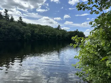
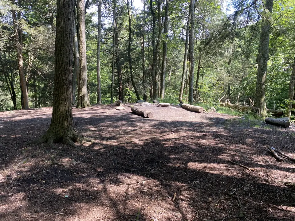
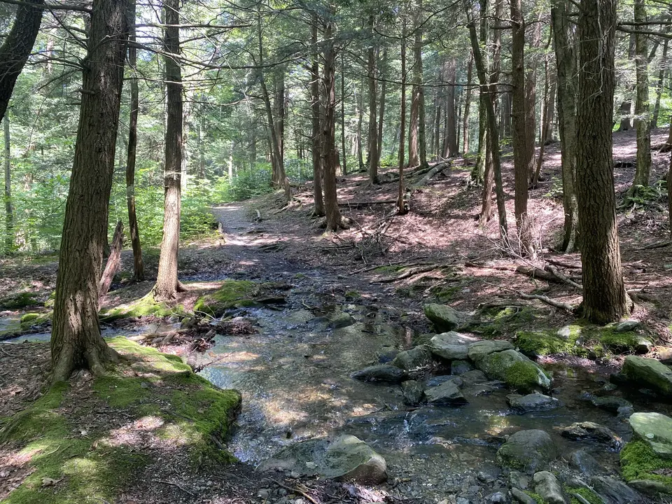
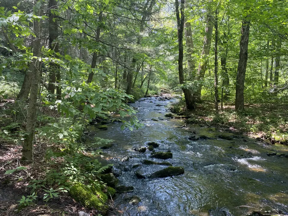
Descending on rock steps past the trail junction, the A.T. levels out and runs parallel to Sages Ravine Brook at 1.1 miles. The Sages Ravine Campsite is a primitive backpacker campsite that is reached by crossing the stream on rock steps. These may be underwater during heavy rains or during spring snow melt. Continuing on narrow trail, the Trail climbs and descends over rugged terrain above the brook. It bears left and reaches an unbridged crossing at 1.6 miles. This crossing may be wet during heavy rains or in spring snow melt. Use caution. Passing a “Welcome to Massachusetts” sign and trail register, the Trail climbs moderately, occasionally on old woods roads before a short, steep climb to the access trail to the Laurel Ridge Campsite at 2.6 miles. This is another primitive backpacker overnight site.
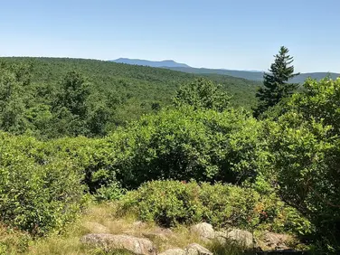
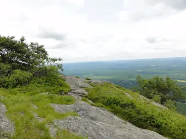
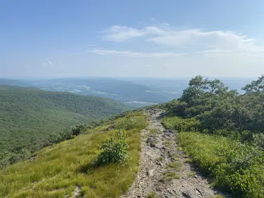
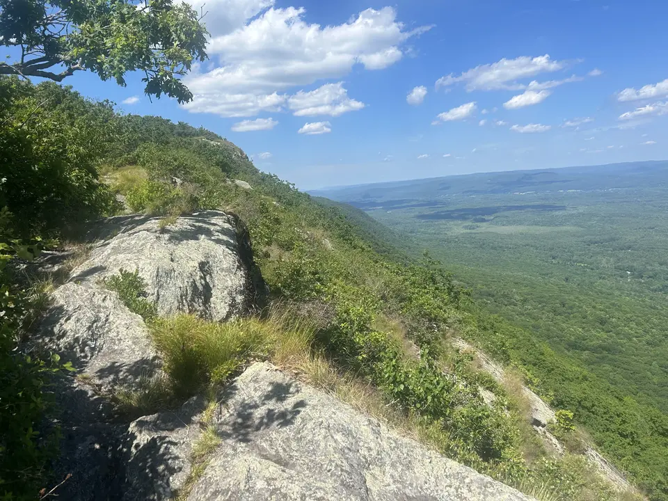
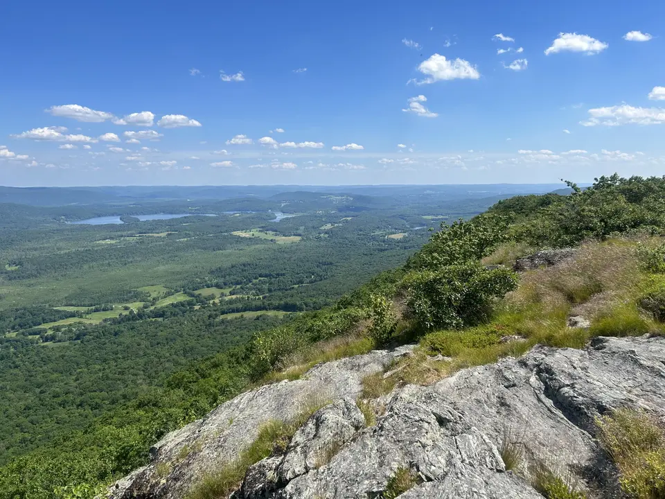
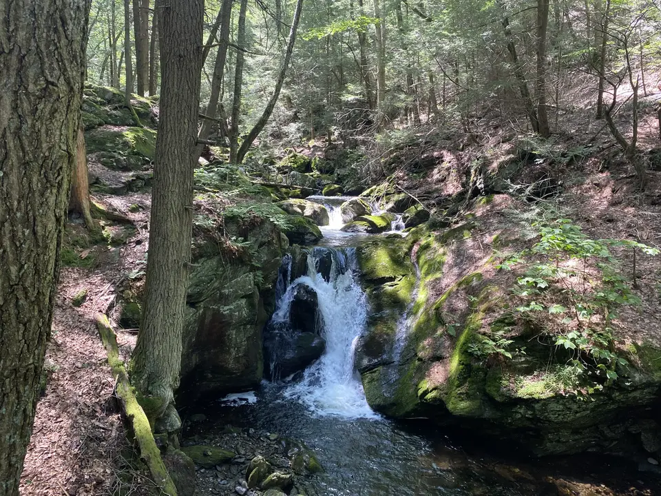
Passing the campsite on level trail, the A.T. crosses the outlet of Plantain Pond before beginning to climb the long southern slope of Mt Race. Ocasional limited views can be found to the east. At 3.7 miles the Trail breaks suddenly out of the woods and turns sharply left, skirting an open cliff with expansive views to the east. Arguably the most spectacular ½ mile of the A.T. in Mass leads eventually to the summit of Mt Race at 3.1 miles. Descending on ocasional bedrock outcroppings the Trail reaches a junction with the blue-blazed Race Brook Falls Trail on the right at 3.9 miles. This 2 mile trail leads past the primitive Race Brook Campsite and travels along Race Brook before turning sharply left and descending to cross the brook at the bottom of the upper Race Brook Falls. This waterfall is spectacular in the spring and the unbridged crossing can result in wet feet. Race Brook Falls trail continues to descend, steeply in places, with additional side trails to the lower falls before reaching the trailhead at Rt 41 (Undermountain Road) 5.9 miles from the AMC Connector Trail.
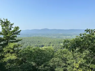
Southbound hikers depart the parking area through the gate on the Connector Trail, passing Northwest Camp before turning right (south) on the A.T. After a short level stretch, the Trail climbs very steeply, eventually reaching the summit of Bear Mountain in Connecticut at 1.1 miles. There is the remains of a rock observation tower with views to the east. Continuing on the A.T. south, the Undermountain Trail is reached which leads 1.8 miles to the trailhead at Rt 41 in Connecticut for a 3.8 mile day.
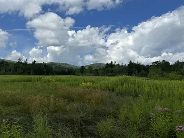
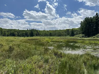
The Appalachian Trail (or A.T.), is a 2100 mile footpath stretching from Maine to Georgia. 90 miles of the Trail are in Massachusetts, traversing the Berkshires. Local volunteers manage and maintain the footpath and the surrounding trail corridor in partnership with the Massachusetts Department of Conservation and Recreation (DCR) and the National Park Service Appalachian Trail Park (NPS-APPA). While popular with both day hikers and backpackers, the A.T. is managed as a primitive backcountry trail with limited amenities. Visitors should dress for the range of expected weather, wear sturdy shoes, and carry the Ten Essentials on their hike. Bicycles and motorized vehicles are not permitted on the A.T. For more on the Appalachian Trail, visit the Appalachian Trail Conservancy’s website.
Massachusetts Department of Conservation and Recreation
Appalachain Trail Corridor
Tell others about this place
The AMC AT Connector is located only a few hundred feet down from the Mount Frissell trailhead, in an area just off Mount Washington Road. The dirt lot has parking for 5 cars, and the .7-mile connector to the Appalachian trail is accessed through a narrow gate. On the nearby AT, many sections contain steep and rocky parts, both north and southbound.
Looking to meet up with others for team sports or group activities? Check out our list of clubs, guides and leagues in the Berkshires on the Resources page. Our list of summer camps will help you plan an overnight or day camp adventure for your young ones.
We also link to an array of outdoor recreation retail shops for gear and rental facilities for equipment on the Gear page.