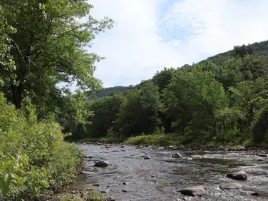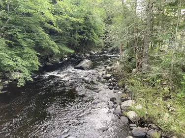
Lower Spectacle Pond
Otis State Forest
Sandisfield, MA
Hunting | Fishing | Canoe/Kayak/SUP
Massachusetts Department of Conservation and Recreation
Allowed Uses & Features
Information
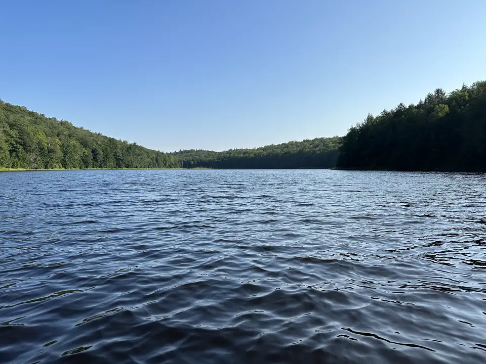
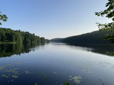
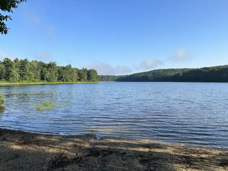
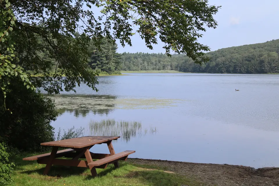
View of West Lake.
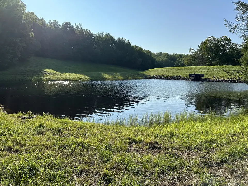
West Lake Boat Ramp.
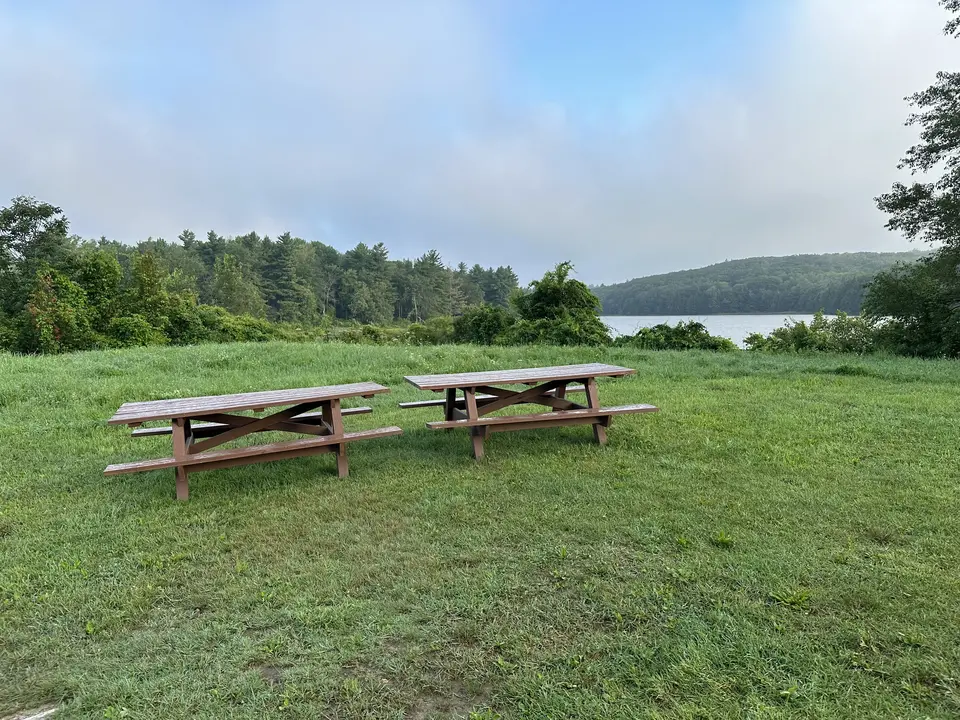
Picnic area overlooking West Lake.
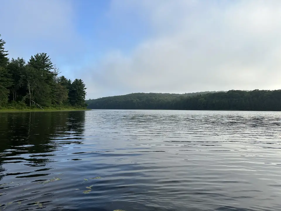
West Lake.
Allowed Uses & Features
Information
The West Lake/Abbey Lake Flood Control Site is located on West Street in Sandisfield. Though these are two adjacent water bodies in the Sandisfield State Forest, only West Lake can be accessed from the road. Also equipped with a boat launch, West Lake is suitable for small motorboats and kayaks or canoes. Heading from West Lake is a 0.8-mile portage trail to Abbey Lake, where explorers or ambitious paddlers can travel to observe or paddle another water body.
West Lake is a 60-acre pond with a maximum depth of 13 feet and an average of 8 feet. The perimeter is 1.6 miles, providing paddlers an opportunity for a shorter journey along the forested shoreline. Additionally, visitors can walk around the old dam or picnic in a large field (previously a farmstead) that includes an apple orchard.
As previously mentioned, Abbey Lake can be reached by a trail through the Sandisfield State Forest. The lake is slightly smaller than West Lake, at only 37 acres with a shoreline of 1.3 miles. Anglers can fish either lake from shore or watercraft, with reported species including bass, bluegill, pumpkinseed, and shiner. The brown bullhead inventory includes bullheads larger than those found in many other Western Massachusetts water bodies.
These lakes were built by the Massachusetts Water Resources Commission and Berkshire Conservation District as part of the Clam River Watershed Project for multiple purposes, including recreation and flood prevention, in 1965.
Massachusetts Department of Conservation and Recreation
Tell others about this place
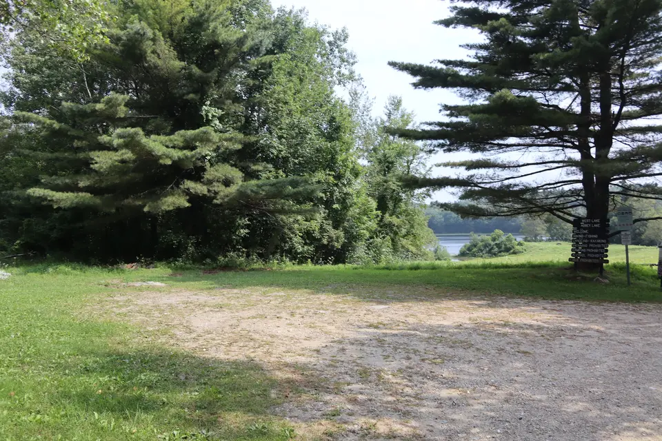
Parking for the West Lake Flood Control site includes two parking areas. The first can be found shortly off West Street at the entrance to the property. This lot consists of a flat area of dirt and grass, providing parking for at least 10 cars. An additional parking area can be found down a narrow dirt road that approaches the lake. This parking area provides parking for at least 3 cars, and is slightly sloped down towards the lake. Adjacent to this parking area lies a boat ramp and a small picnic area. The boat ramp consists of mostly even, compacted gravel and dirt. The ramp contains 5-8% sustained grades, with a maximum grade of 12%.
Parking area located adjacent to West Street, which sits over flat, compact dirt and grass.
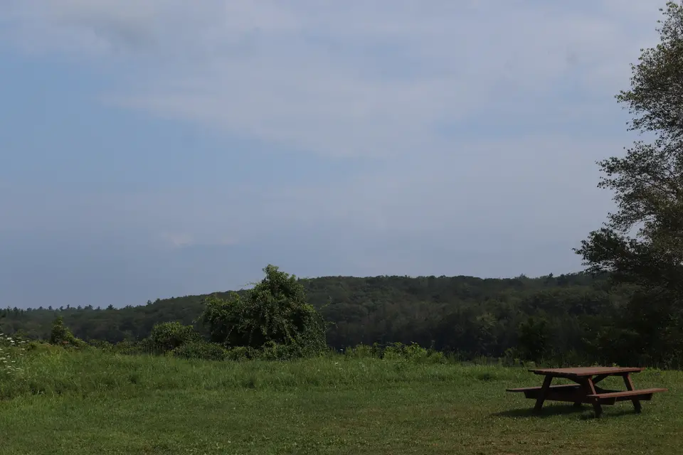
Picnic area overlooking West Lake.

A second parking area located closer to West Lake, adjacent to the Boat Ramp.

West Lake Boat Ramp.
A picnic table sits by the Boat Ramp at West Lake.
Looking to meet up with others for team sports or group activities? Check out our list of clubs, guides and leagues in the Berkshires on the Resources page. Our list of summer camps will help you plan an overnight or day camp adventure for your young ones.
We also link to an array of outdoor recreation retail shops for gear and rental facilities for equipment on the Gear page.