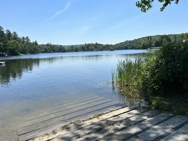
Monterey Outdoor Skating Rink
Monterey Outdoor Skating Rink
Monterey, MA
Ice Skating
Berkshire Natural Resources Council
Allowed Uses & Features
Information
Allowed Uses & Features
Information
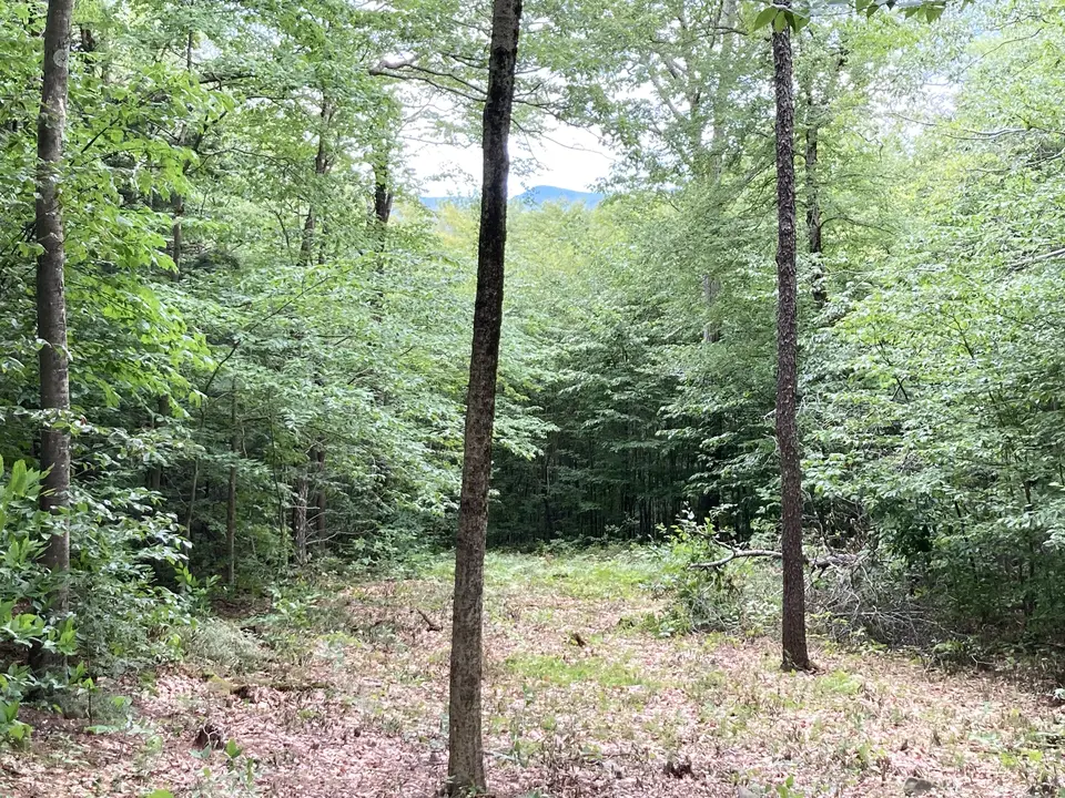
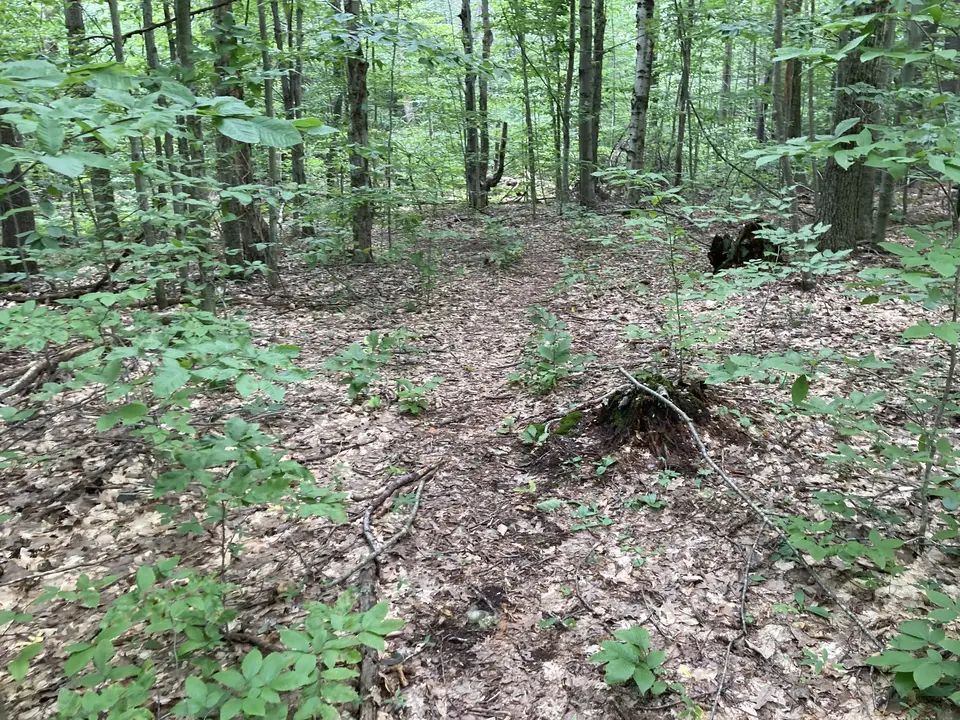
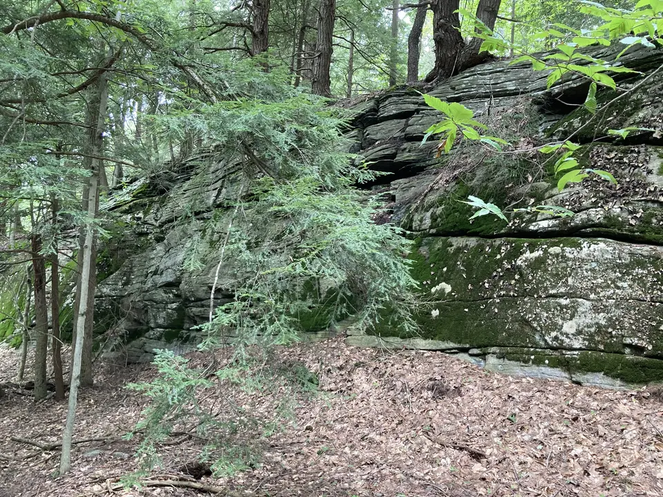
The trails at Konkapot Ridge take hikers through a beautiful forest on moderately challenging hiking trails. There is not a significant amount of climbing since the trailhead rests near the highest elevations of the preserve. Still, trails offer some elevation change and can be technical. The Mount Hunger Trail, the reserve's main out-and-back trail, takes hikers past old stone walls and foundations, and it is approximately 2 miles round trip. Upon a small peak, views of the Taconics and Lee appear, which are most visible when the trees have lost their leaves. A noteworthy feature of this property is that it is lined with large rock outcrops and cobbles, providing a fascinating geologic phenomenon to explore.
The Konkapot Ridge Reserve harbors a diverse wildlife habitat, with mammals like bats and flying squirrels calling the reserve their home. Lucky hikers may even spot a moose, which are rare in Massachusetts but most commonly found in remote areas of the Berkshires. Additionally, many species of birds roam the forest, making birding a common activity along the ridge. The mixed woods resemble a classic Western Massachusetts forest, consisting of northern red oak, black cherry, American beech, black birch, and hemlock trees.
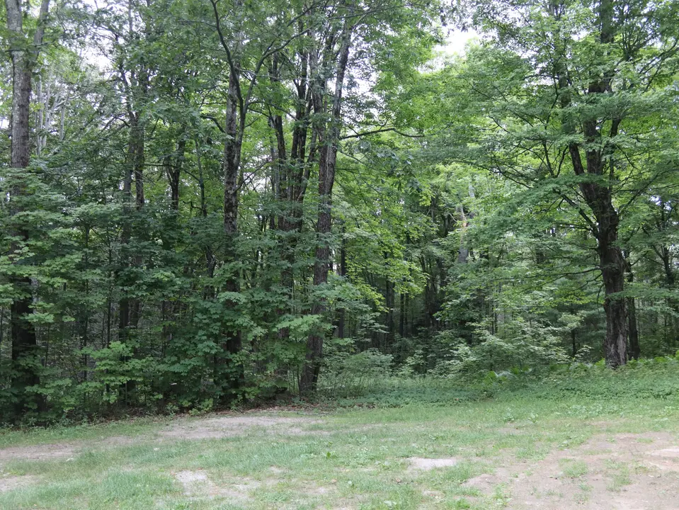
Visitors can park on Mt. Hunger Road about half a mile south of the intersection with Tyringham Road. The Berkshire Natural Resources Council manages the property, and they seek to improve the trail system throughout the reserve.
Berkshire Natural Resources Council
Tell others about this place
Parking for Mount Hunger at Konkapot Ridge can be accessed through a compacted gravel parking area. The parking area contains a slight 5% grade up towards the trailhead. This space provides room for at least 6 cars to park. The Mount Hunger trail contains some sections with grades of 5-10%. The trail also contains narrow sections with high vegetation.
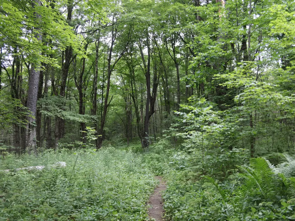
Start of the Mount Hunger Trail, a dirt trail surrounded by tall vegetation.
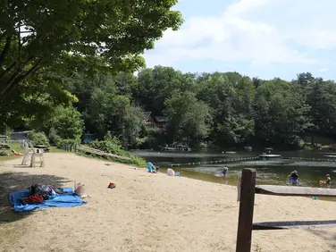
Looking to meet up with others for team sports or group activities? Check out our list of clubs, guides and leagues in the Berkshires on the Resources page. Our list of summer camps will help you plan an overnight or day camp adventure for your young ones.
We also link to an array of outdoor recreation retail shops for gear and rental facilities for equipment on the Gear page.