Ashuwillticook Rail Trail - Crane Ave
Ashuwillticook Rail Trail
Pittsfield, MA
Snowshoeing | Road Cycling | Cross-Country Skiing
City of Pittsfield
Ashuwillticook Rail Trail
Allowed Uses & Features
Information
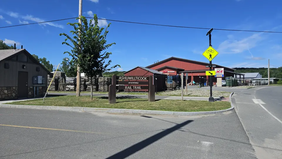
A sign indicating the Ashuwillticook Trail.
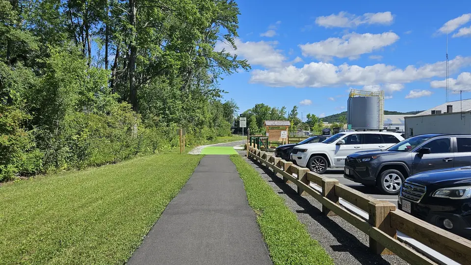
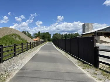
The Ashuwilticook trail, running by a parking lot.
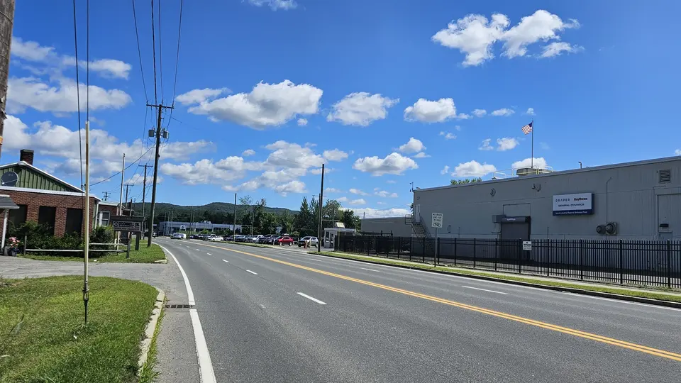
The road that goes by the parking lot for this trailhead.
Allowed Uses & Features
Information
This trailhead is currently the Southernmost trailhead and starting point for the Ashuwillticook Rail Trail. Heading north, visitors can travel 0.4 miles to the Crane Avenue parking lot and 14 miles through multiple towns in Western Massachusetts to reach the current terminus in Adams. Numerous additional trailheads are further north along the pathway.
A large section of this trail follows the border of a large wetland, where an abundance of birds can be seen. On the other side of the trail is a large commercial area offering several options for eating.
The Ashuwillticook Rail Trail is a family-friendly paved path in the Berkshires running from Adams to Pittsfield. It was converted from an old railroad line starting in the early 2000s. Visitors will find the pathway ideal for biking, walking, wildlife viewing, or rollerblading in the Berkshires. The name "Ashuwillticook" translates to "river between the hills."
Plans are currently under development to continue the trail into the center of Pittsfield.
City of Pittsfield
Ashuwillticook Rail Trail
Tell others about this place
This site has a flat paved parking lot with 1 designated handicap spot. The parking lot directly connects to the trail, which is 10 feet wide and flat for its duration. There are no restrooms at this trailhead; however, at the Crane Avenue parking lot, which is 0.4 miles down the trail, there are accessible restrooms.
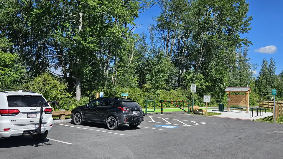
A handicap parking spot in the paved parking lot.
Looking to meet up with others for team sports or group activities? Check out our list of clubs, guides and leagues in the Berkshires on the Resources page. Our list of summer camps will help you plan an overnight or day camp adventure for your young ones.
We also link to an array of outdoor recreation retail shops for gear and rental facilities for equipment on the Gear page.